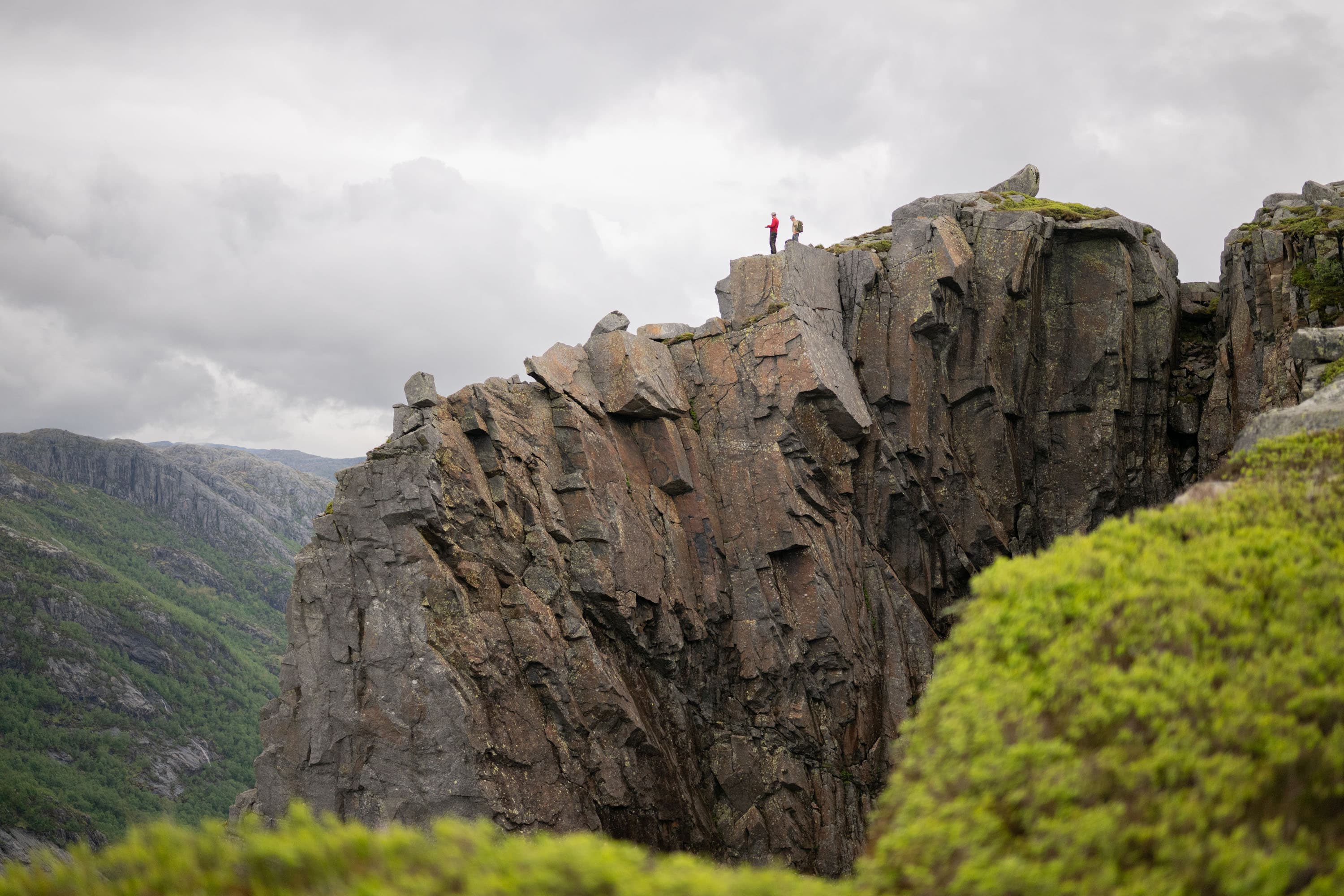
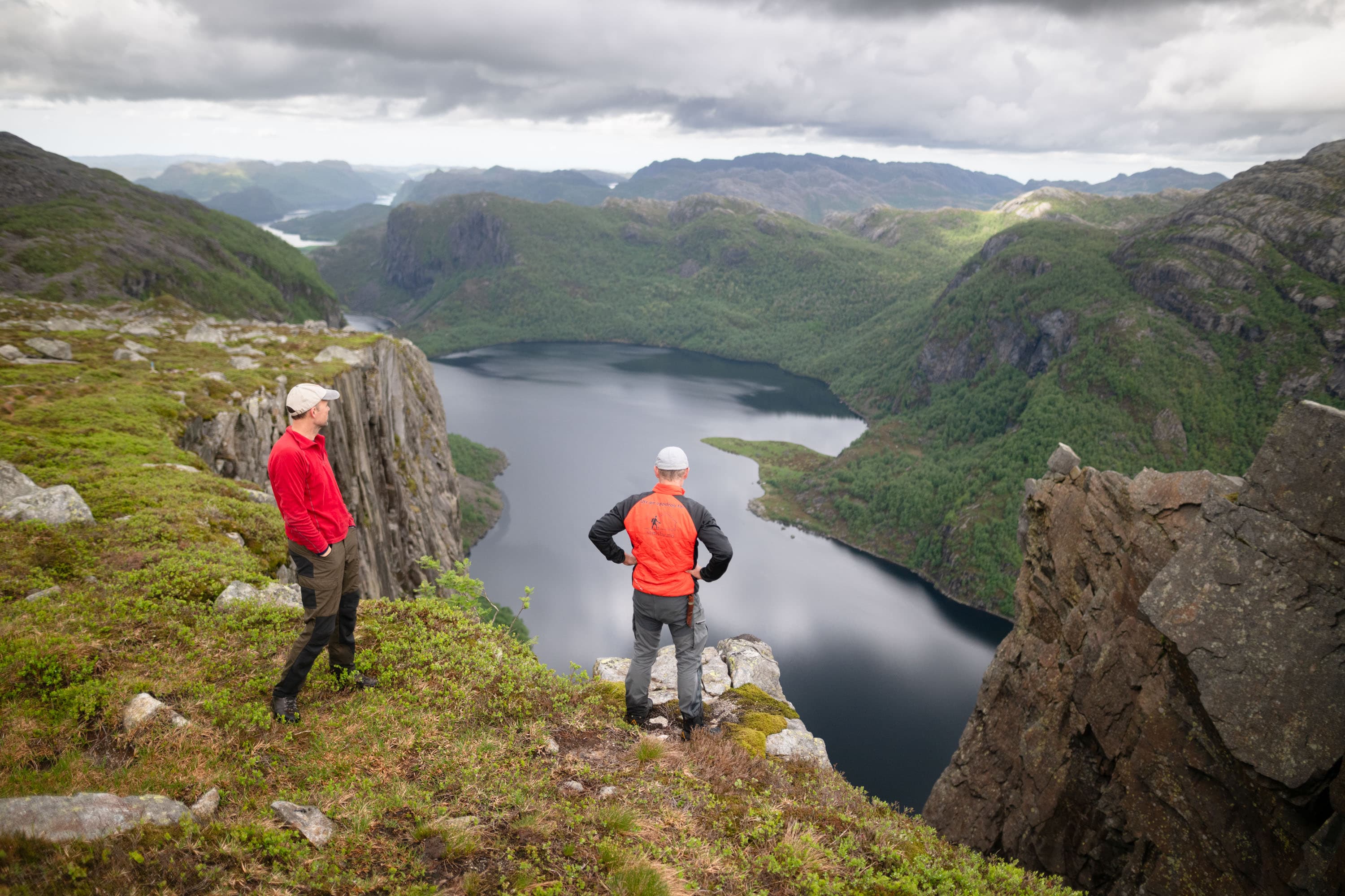
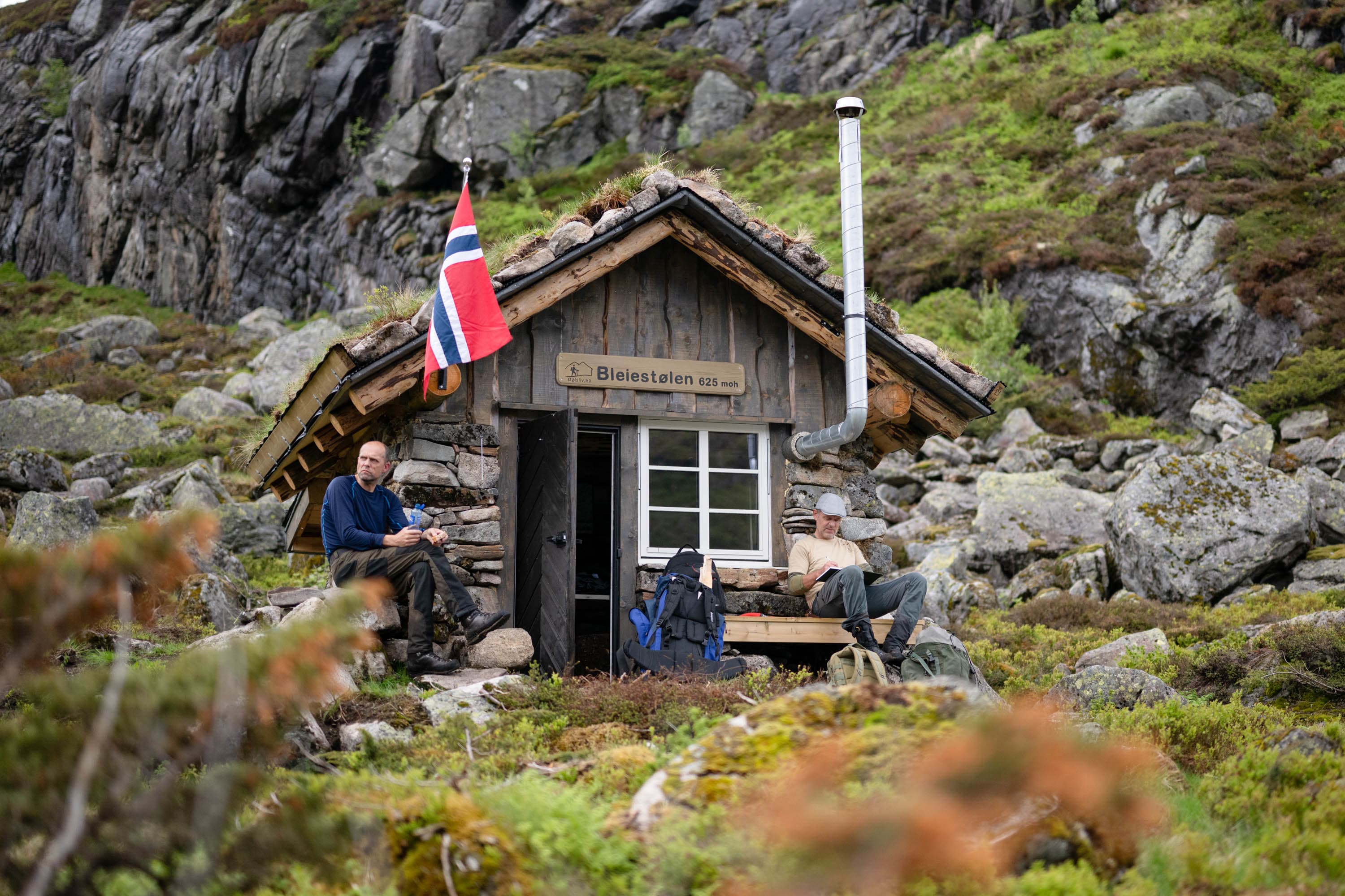
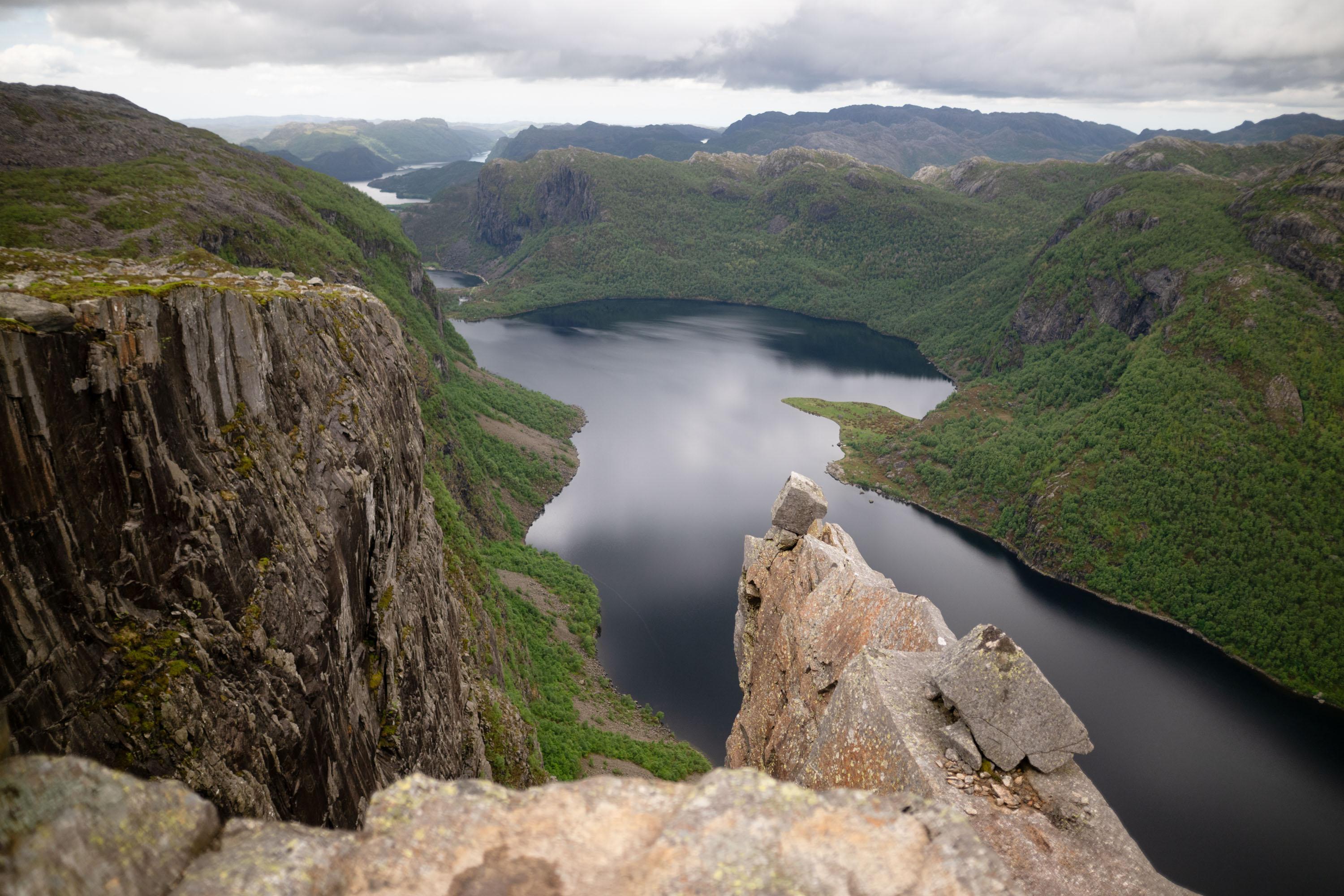
Trollakyrkja from Bleiestølen
Hike description
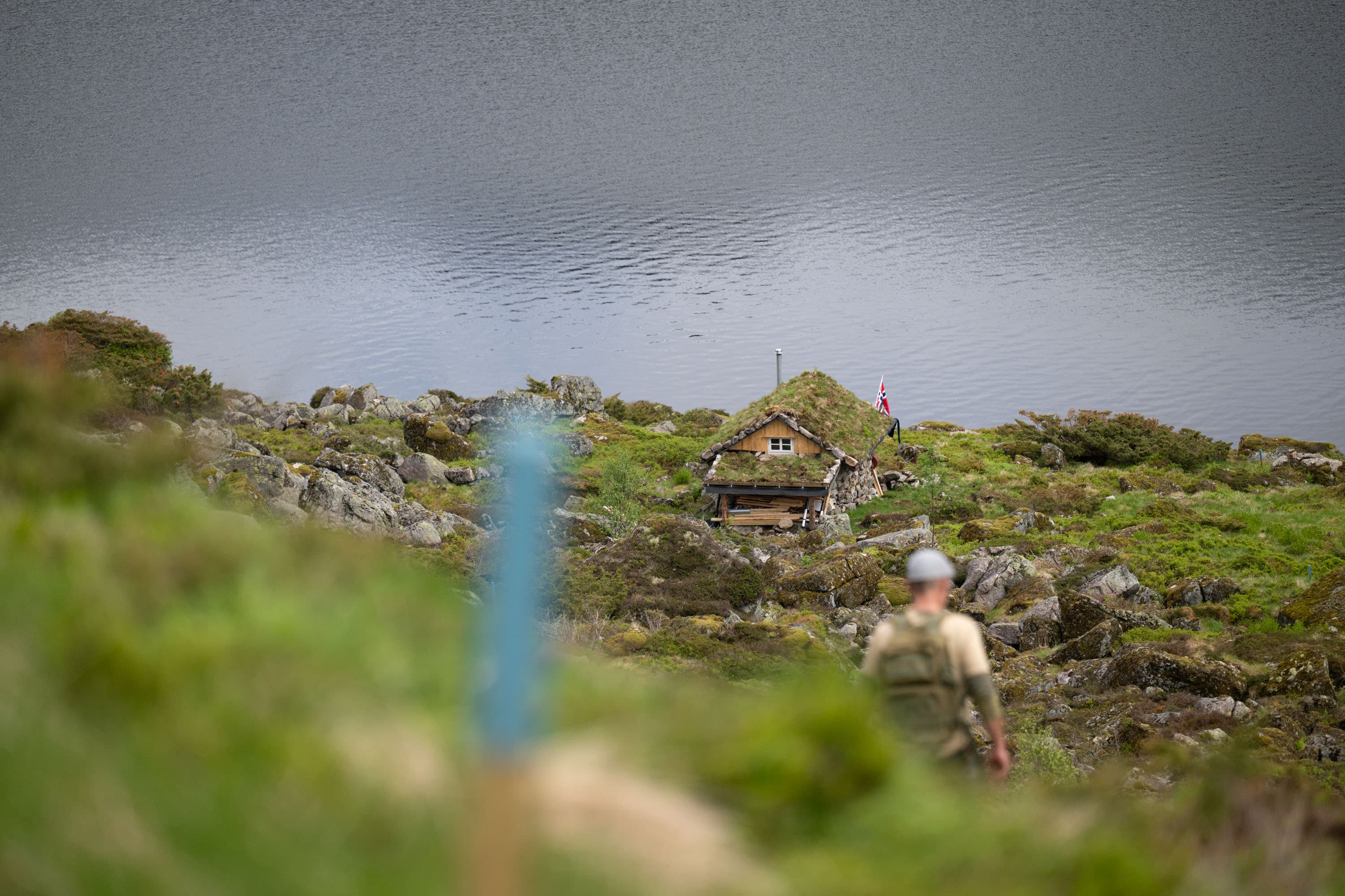
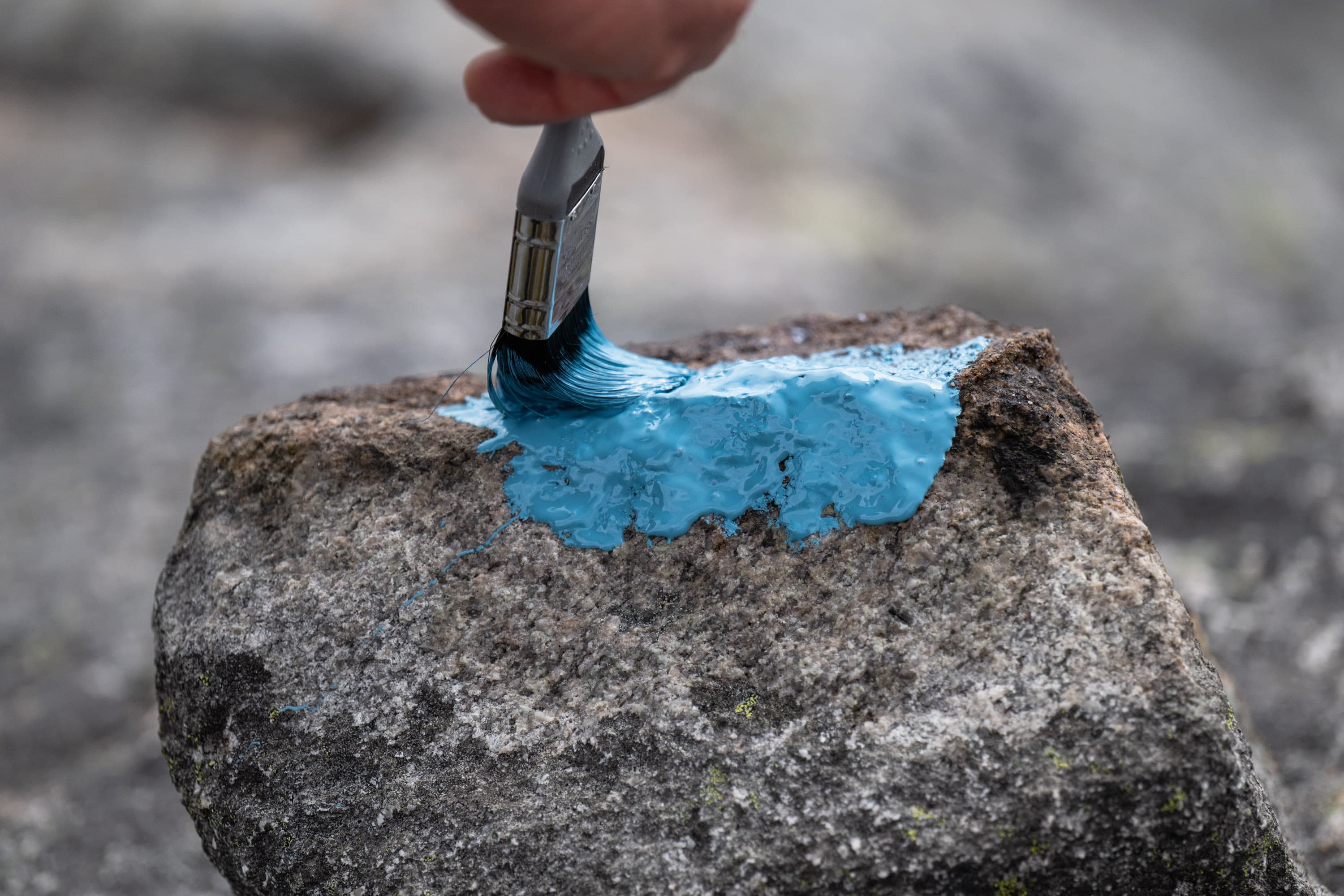
From Bleiestølen, there is a short trail leading to Trollakyrkja. The trail is marked with blue paint, and the stretch from Bleiestølen to Trollakyrkja is about 1.2 kilometers, with approximately 500 meters further to the actual "Spiret."
For those walking from Stavtjørn via Bleiestølen, this may be a route to Trollakyrkja that is perceived as easier than the route from Maudal. This is partly because the ascent is more evenly distributed, and the trip from Stavtjørn starts higher up in the terrain, at around 460 meters above sea level, while Maudal is at around 270 meters above sea level. The trip has less total ascent and is well suited for those looking for a nice alternative to Trollakyrkja from the Stavtjørn side.
GPX is available for this hike