
+3
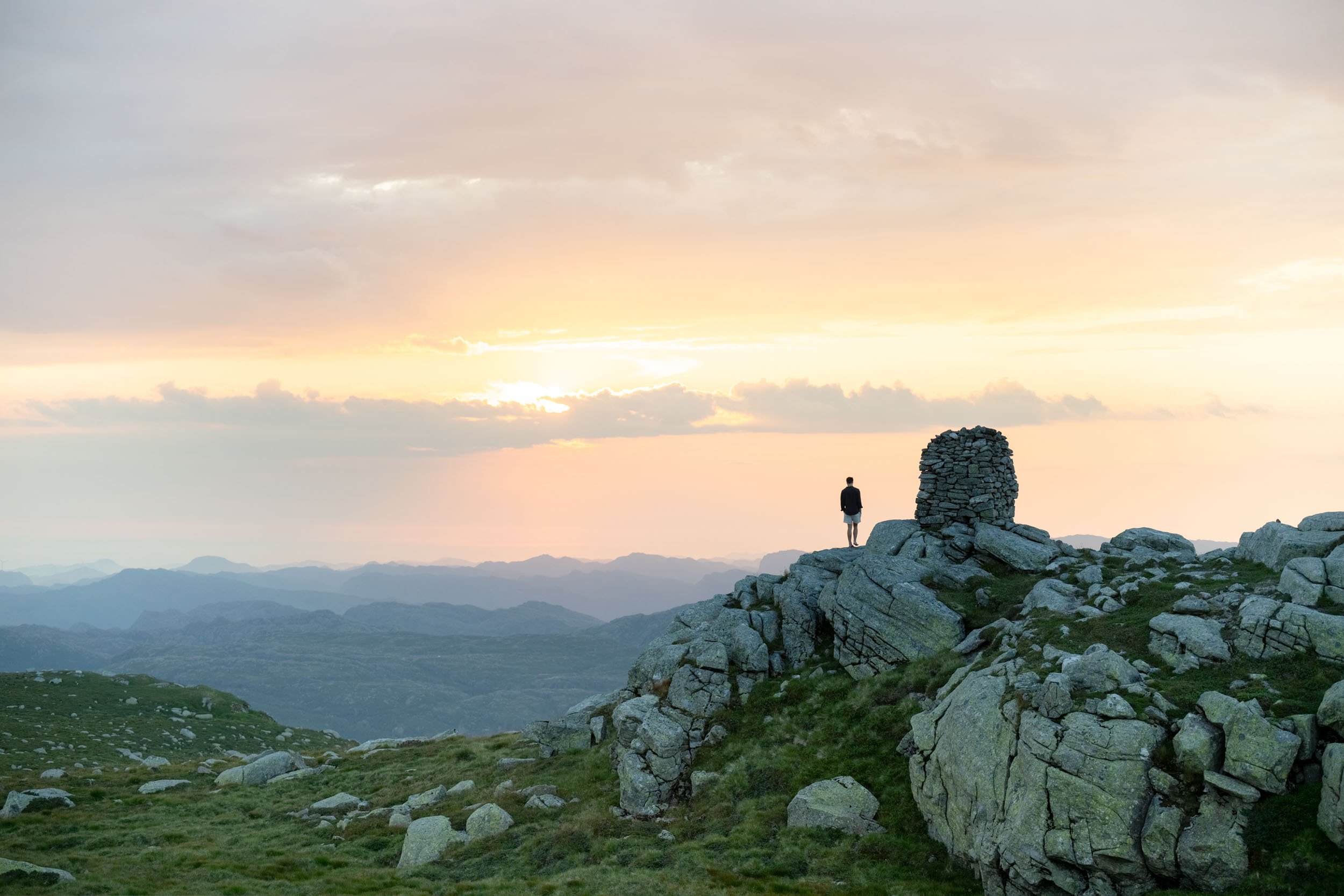
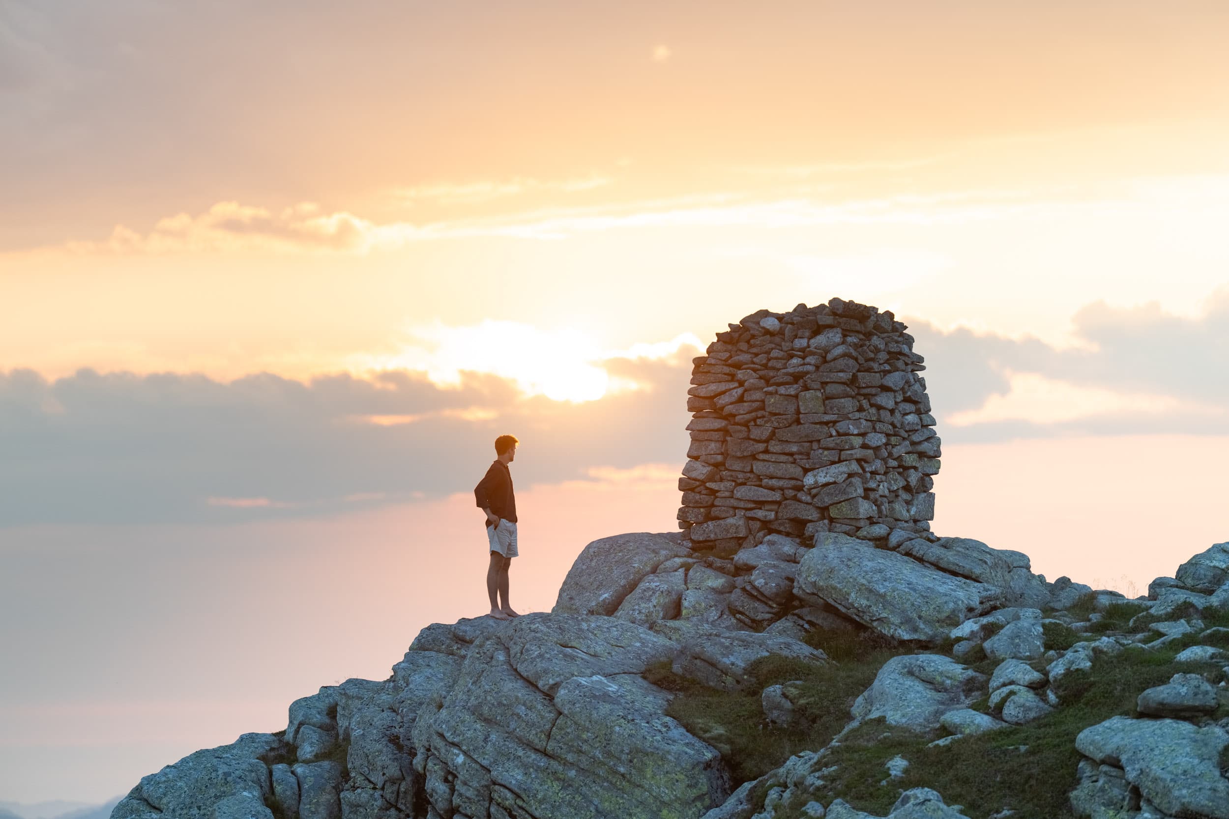
Store Skykula
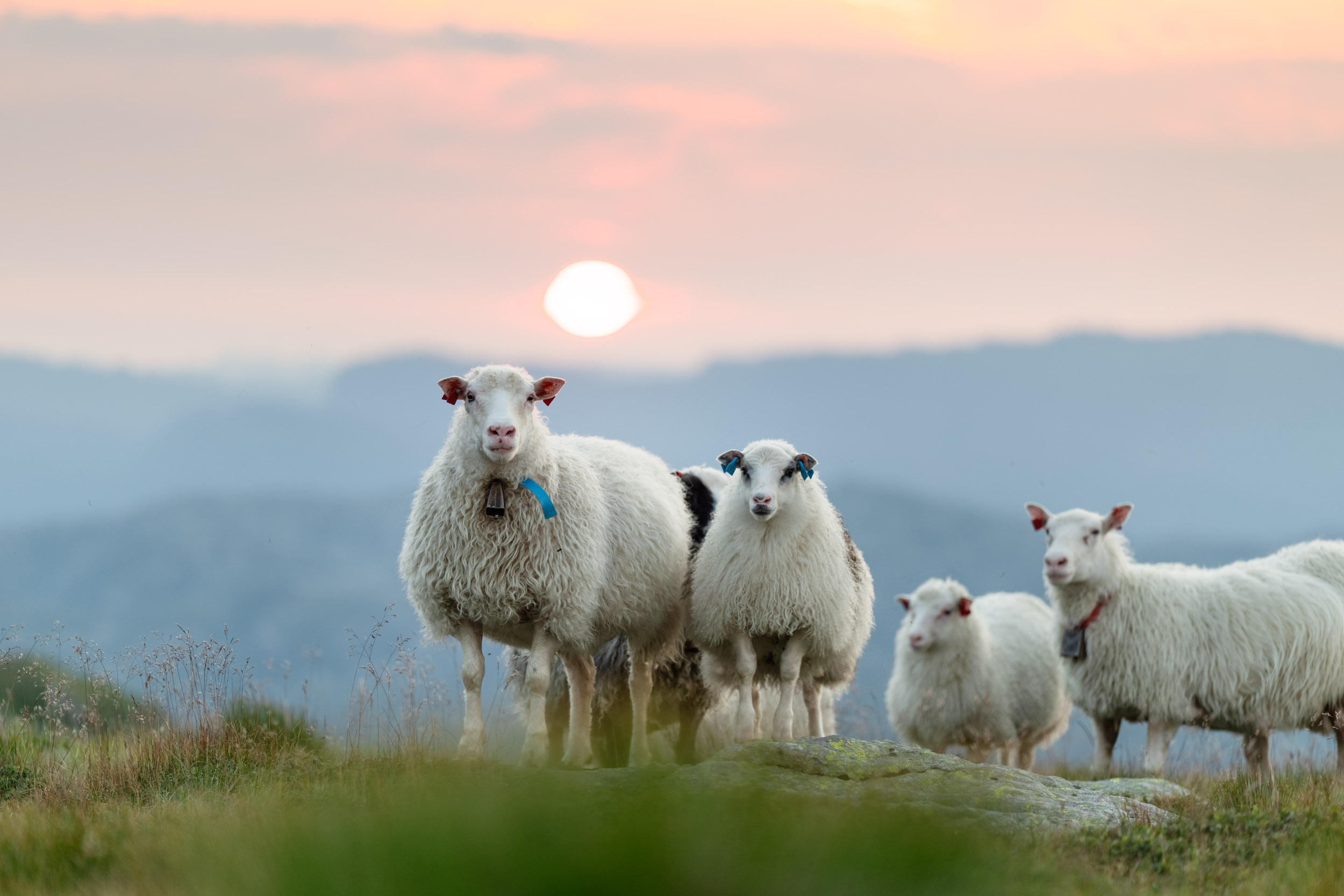
The roof of Bjerkreimsheiene
11.30 km
Length
3t 0m
Estimated time
↻
Rundtur
Middels
Difficulty
Hike description
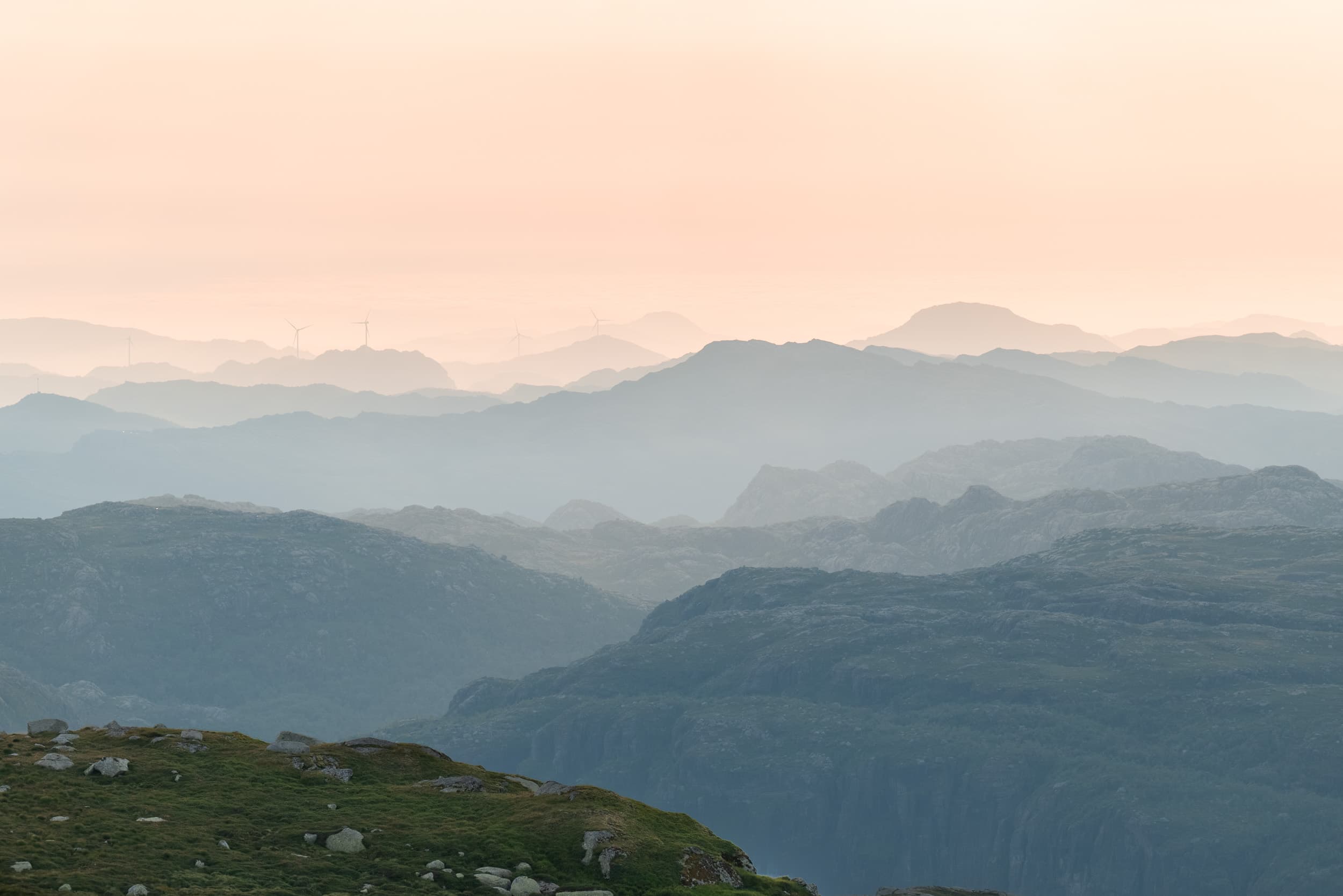
The Skykula at 906 meters above sea level is the highest peak in the beautiful mountain terrain between Ørsdalen and Gyadalen. The trip starts from the parking lot at Skineldvatnet. From here, there is a toll road leading to the facility at the top of Skykula. We recommend following the markings to Store Skykula up, and taking the military road down again. From the top of Skykula, you have a clear view in all directions.
Parking
Parking at Skineldvatnet
GPX is available for this hike