Regnhetta
2.30 km
Length
2t 0m
Estimated time
↔
Tur/retur
Vanskelig
Difficulty
Hike description
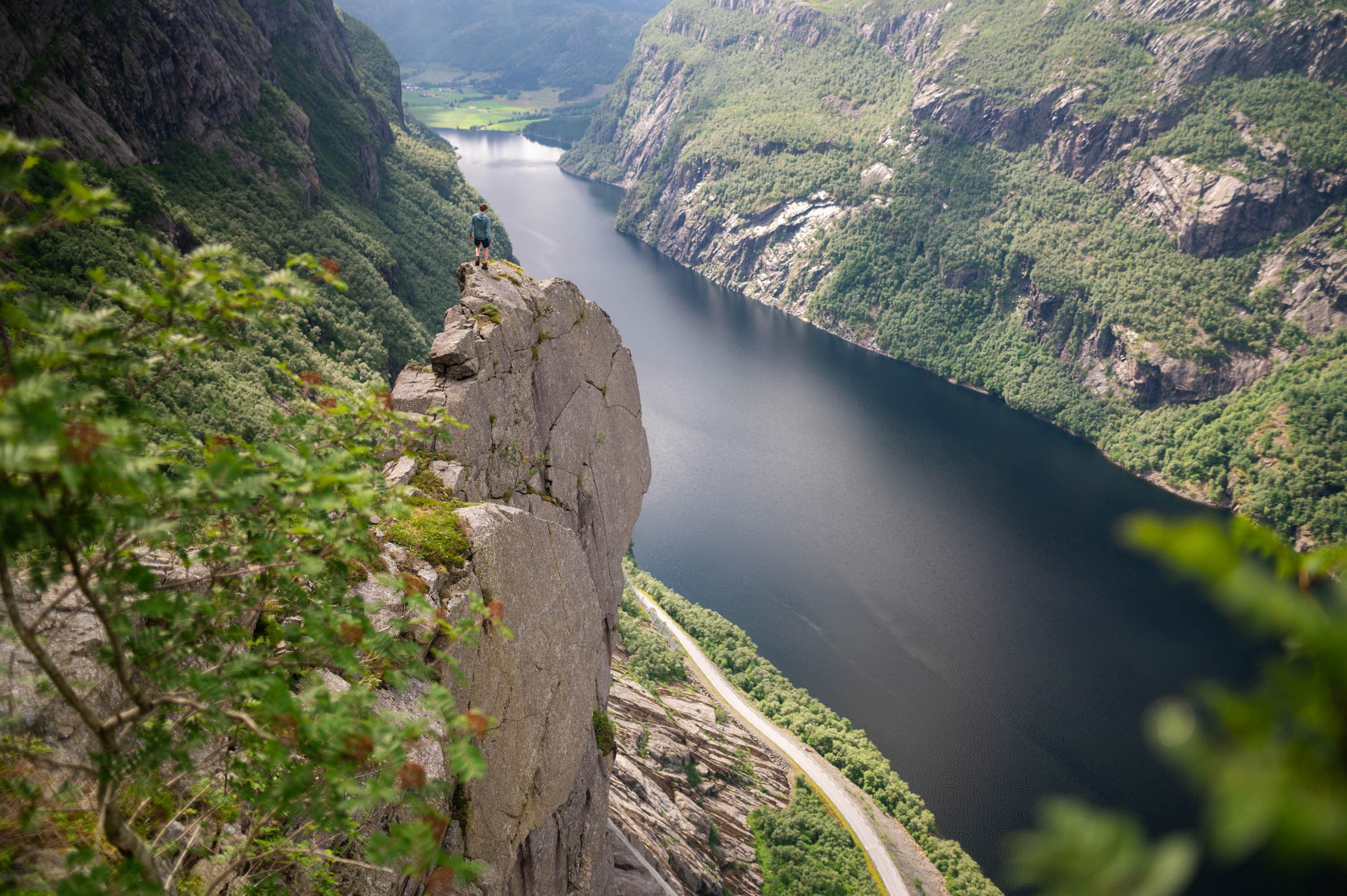
Above Gloppedalsura, there is a lush green belt that conceals what may be one of Bjerkreim's most spectacular mountain formations, called Regnhetta.
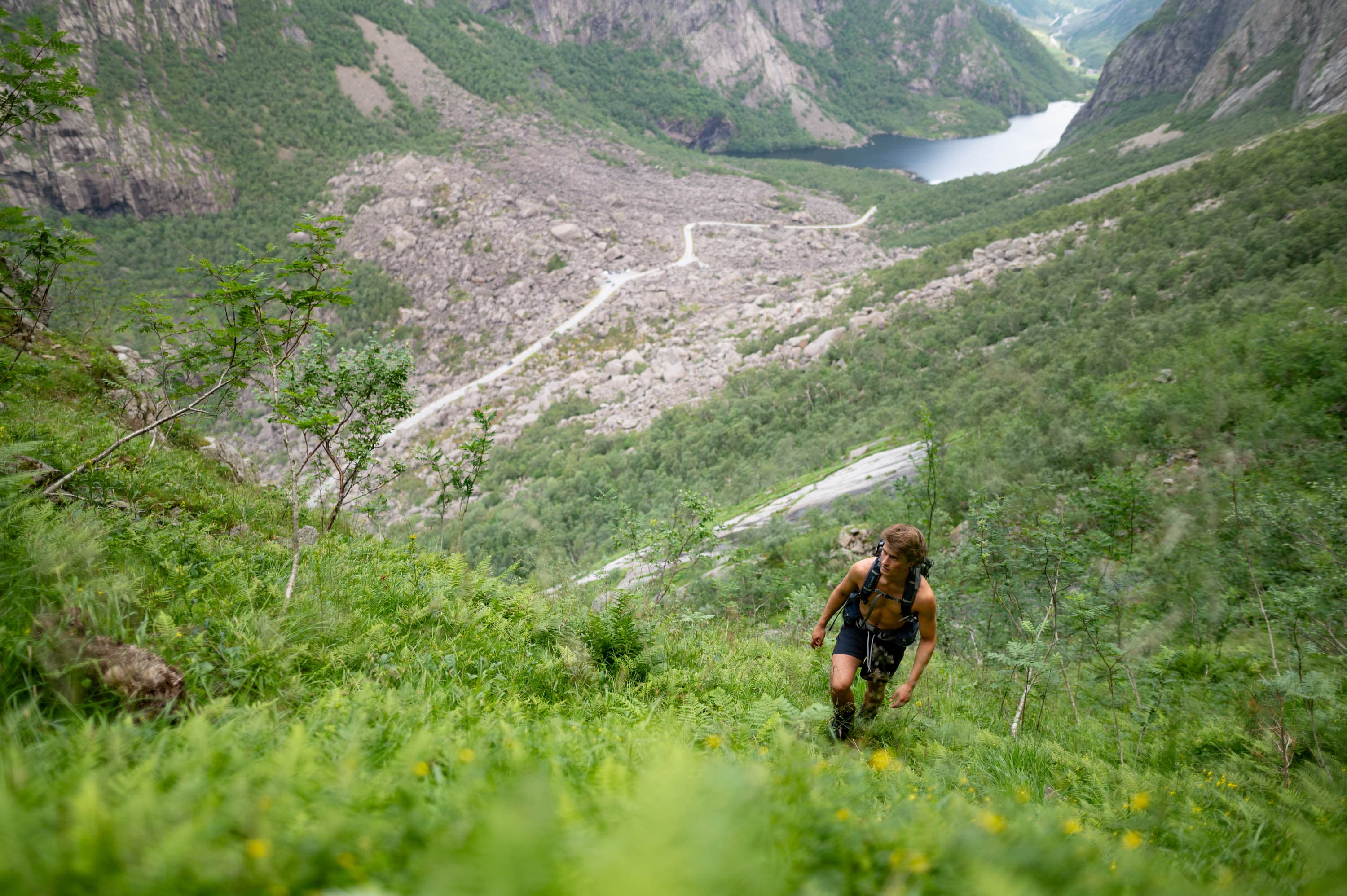
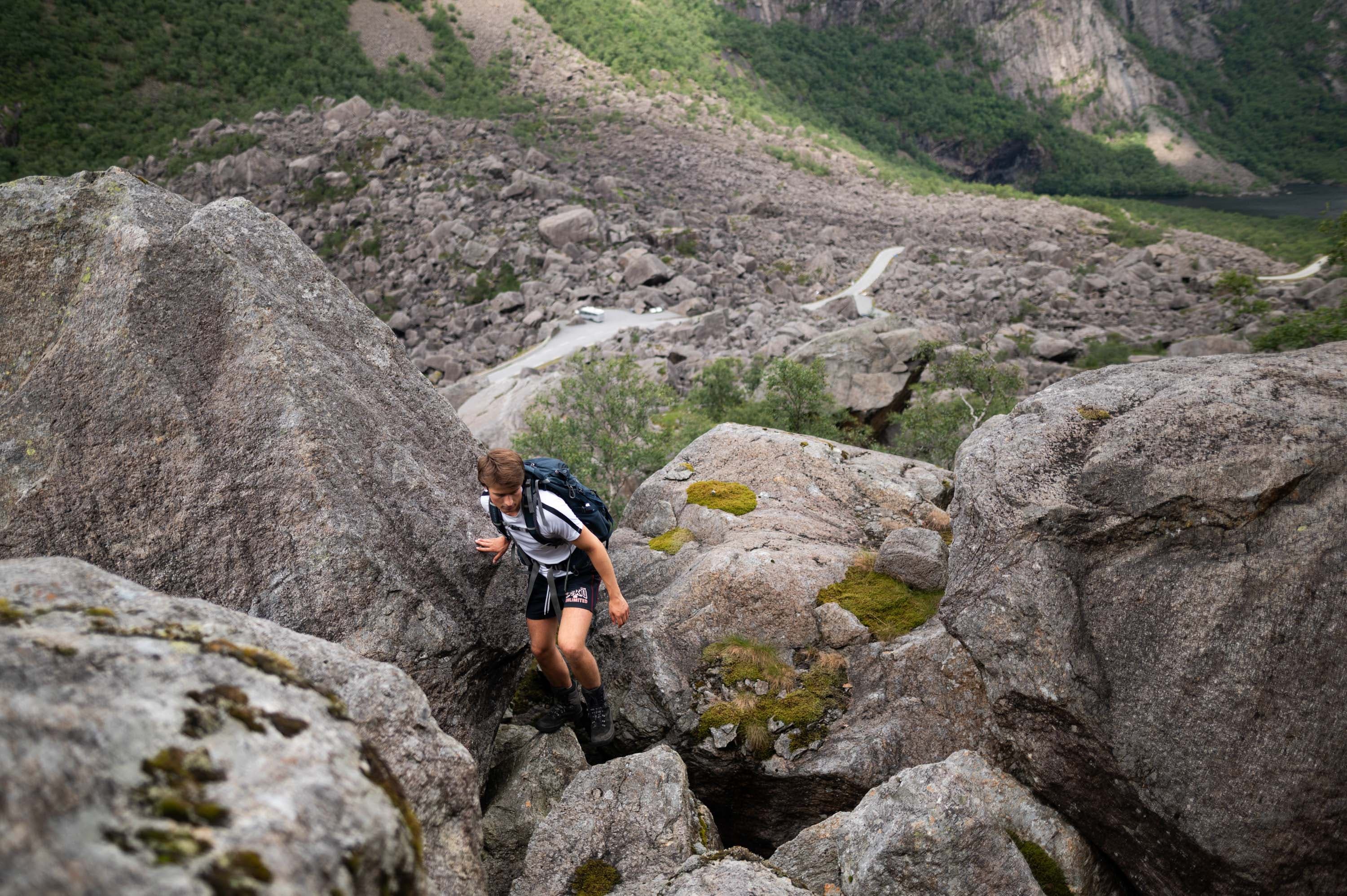
A good starting point for the hike is the parking lot with the information signs in Gloppedalsura. The hike up to Regnhetta is unmarked, but it is possible to navigate by coordinates (see coordinates). From the parking lot, you walk approximately 1 km in a southwest direction up to an elevation of about 500 meters above sea level. Then, you follow the elevation for about 700 meters towards Veen. Regnhetta is located at 535 meters above sea level.
Parking
Parking at Gloppedalsura Fv503, 4389 Dirdal
GPX is available for this hike