


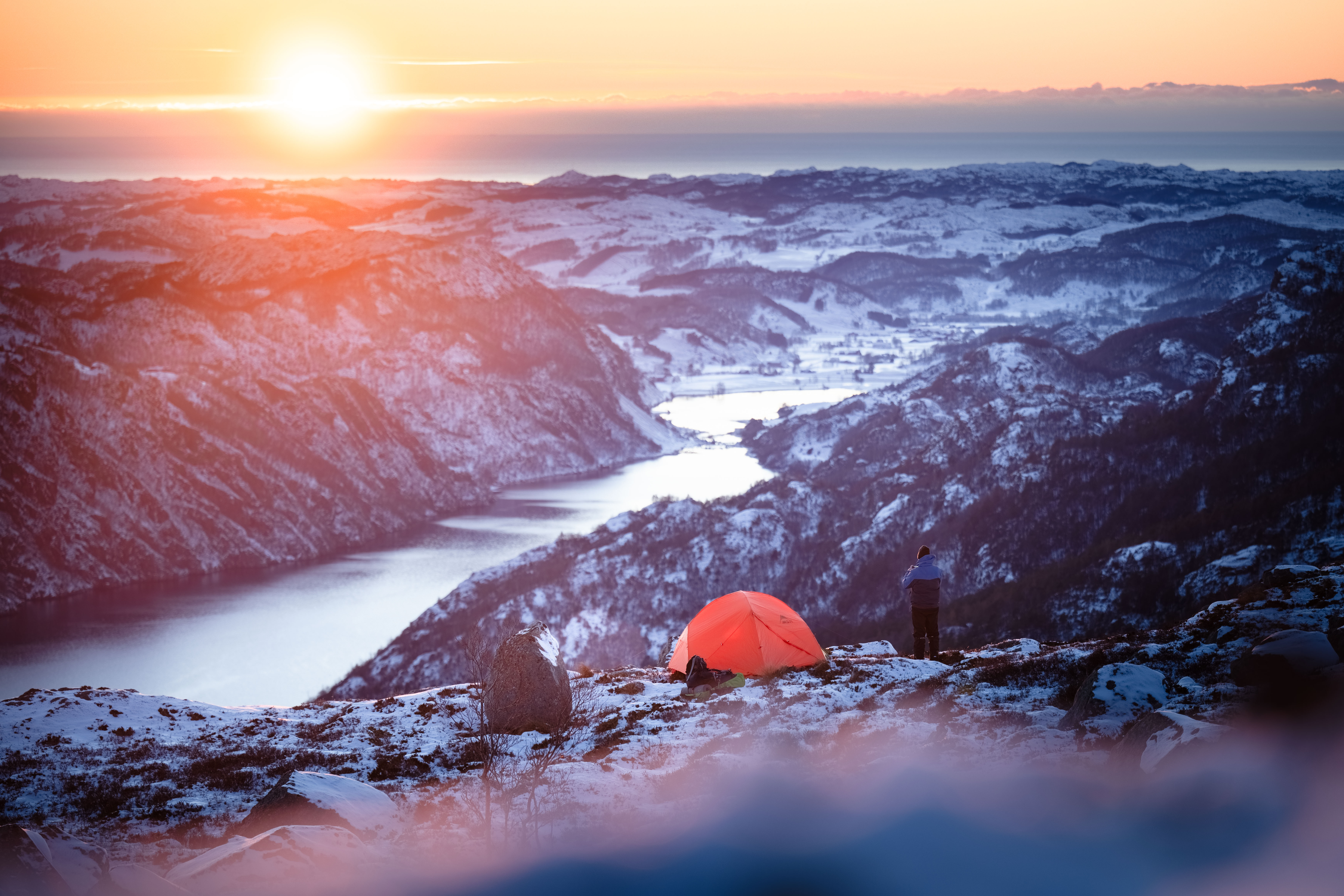

Marsteinfjellet
View all the way to the coast
Hike description
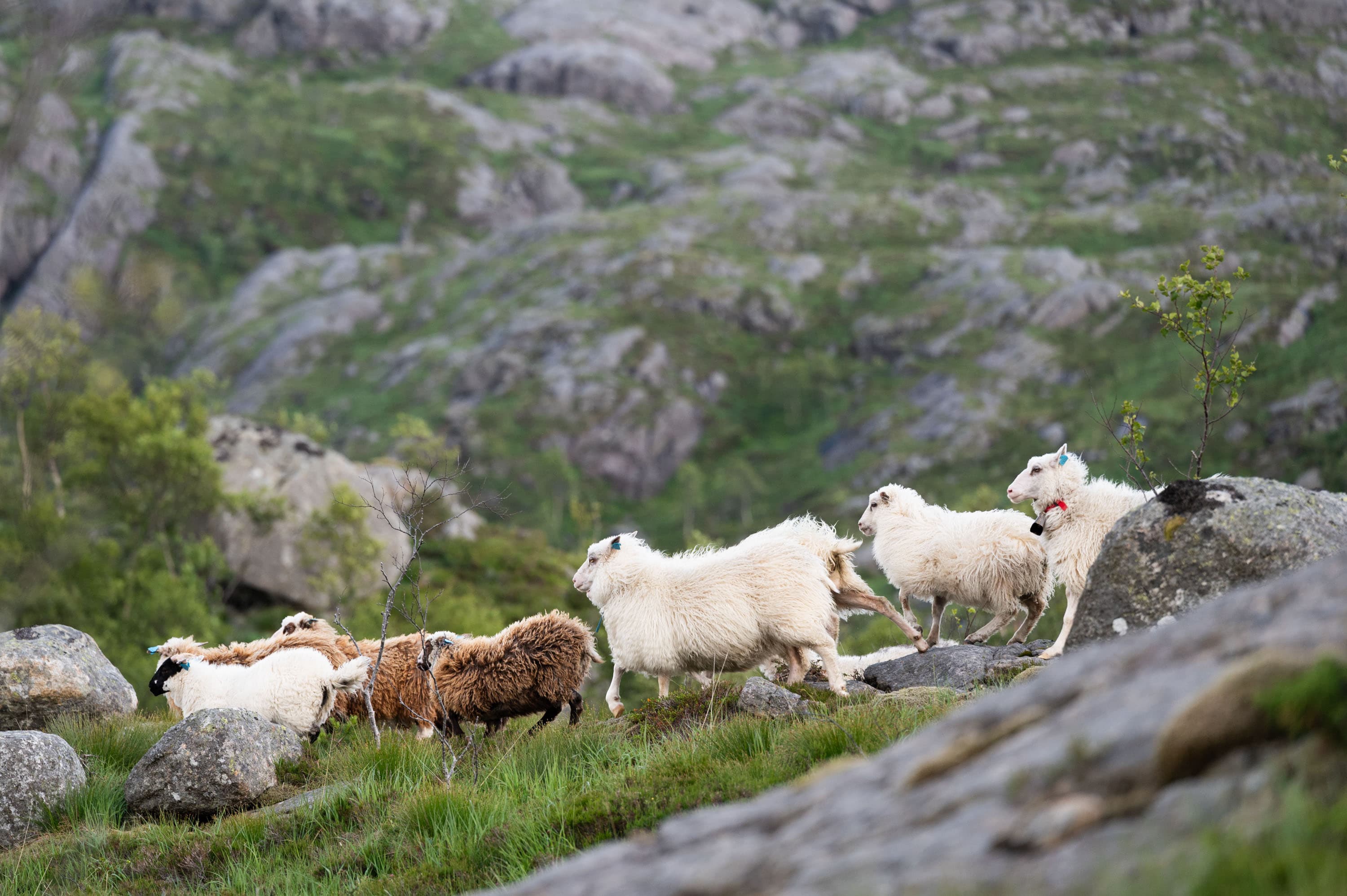
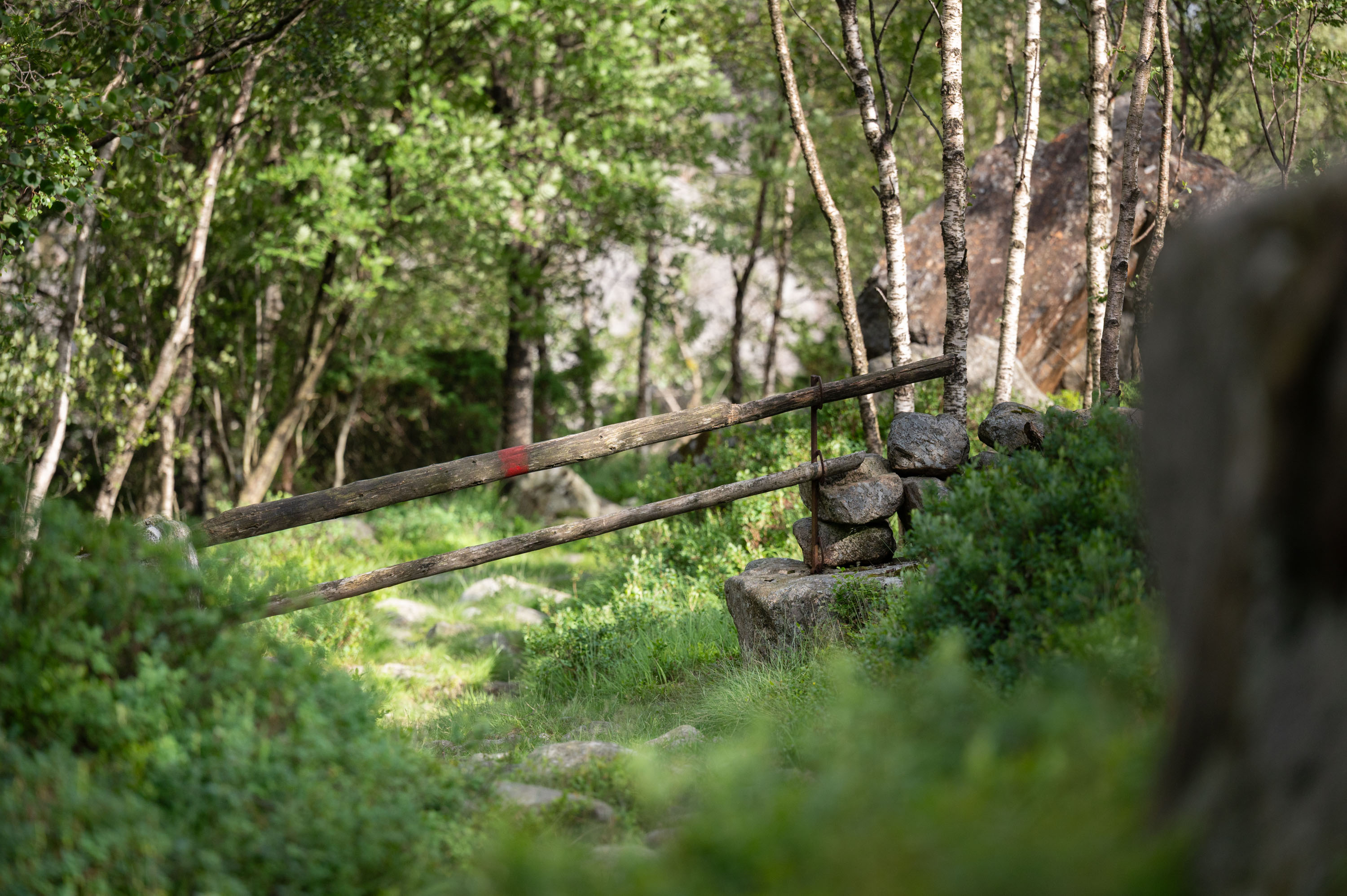
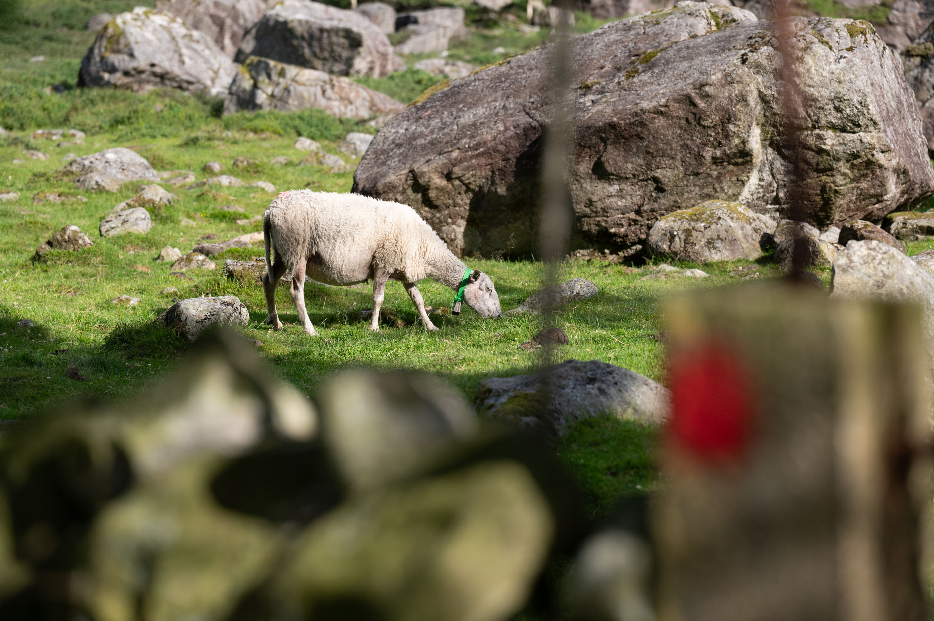
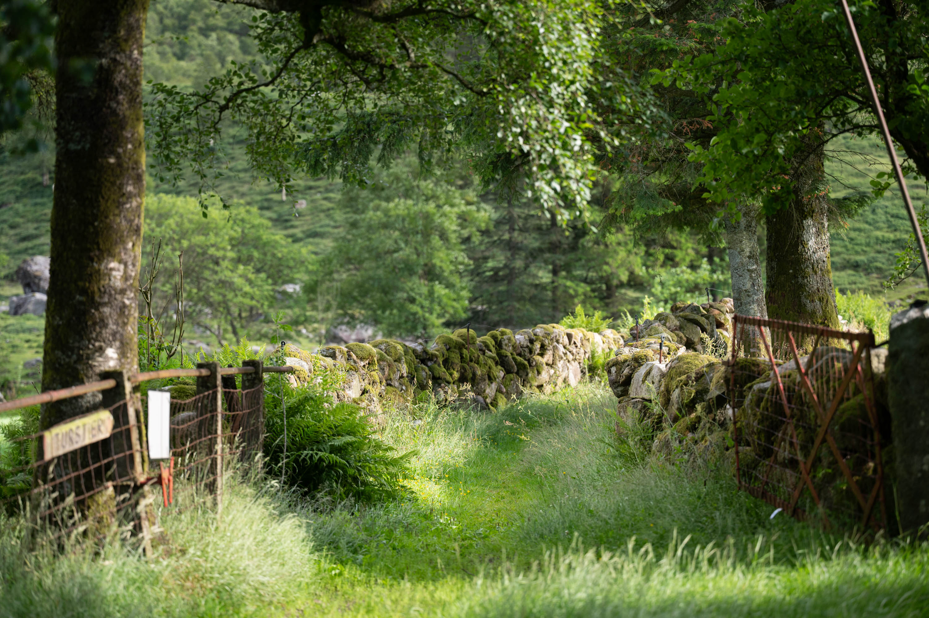
The hike up to Marsteinfjellet consists of varied terrain that changes progressively throughout the entire journey. The hike starts in beautiful cultural landscape where both cows and sheep graze in the summer. On the way to the top, there are lovely sections with forests, marshes, waterways, and cozy ponds.
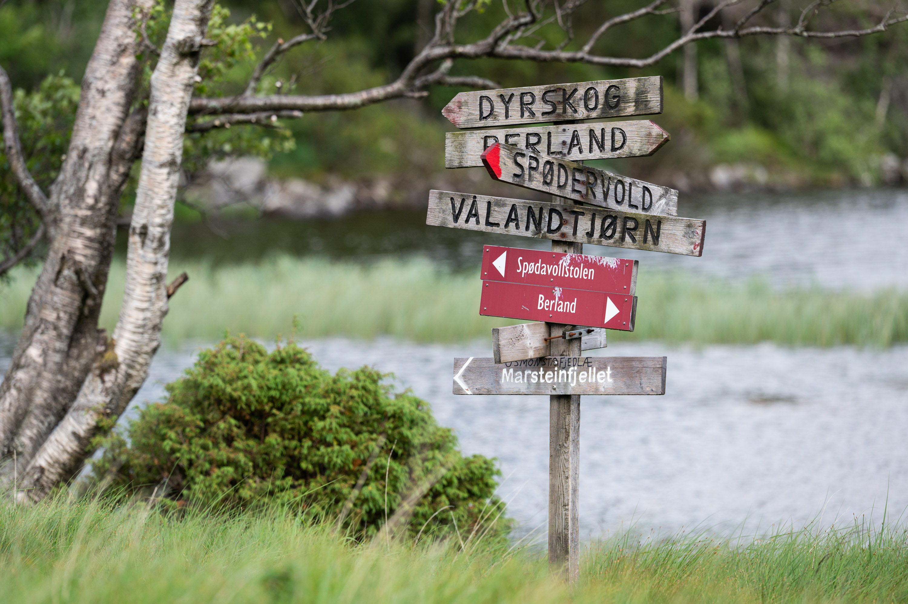
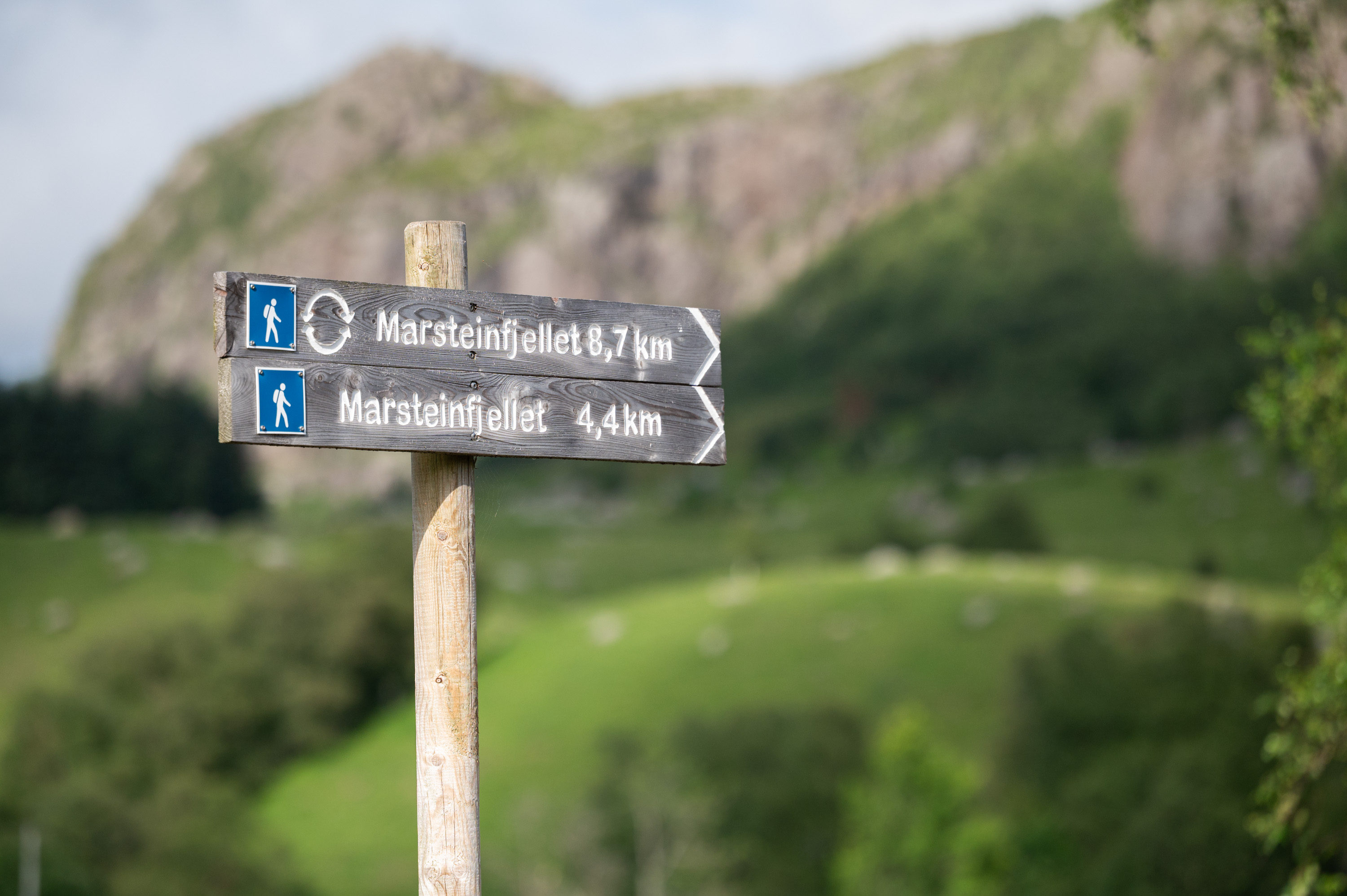
From the parking lot at Spødavoll, one follows the road up to a farmyard where a sign with the text “Summit hike” points the way to Dyrskog and Marsteinfjellet. Marsteinfjellet is on the way to Dyrskog, and at the beginning of the hike, one should therefore follow the signs towards Dyrskog. At the first pond, the signage that shows the way to Marsteinfjellet begins.
Parking
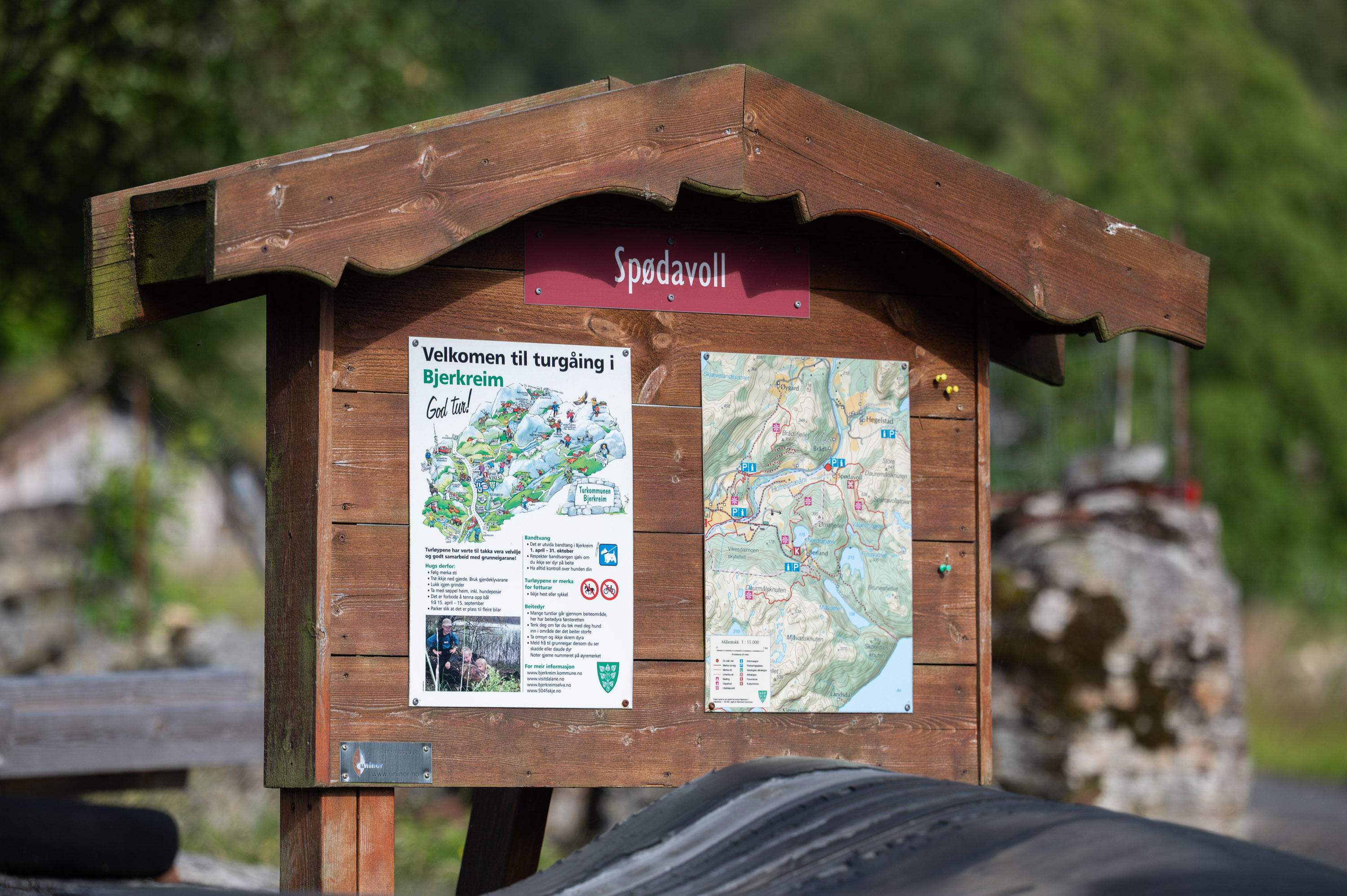
Parking at Spødavoll 19, 4389 Vikeså
GPX is available for this hike