
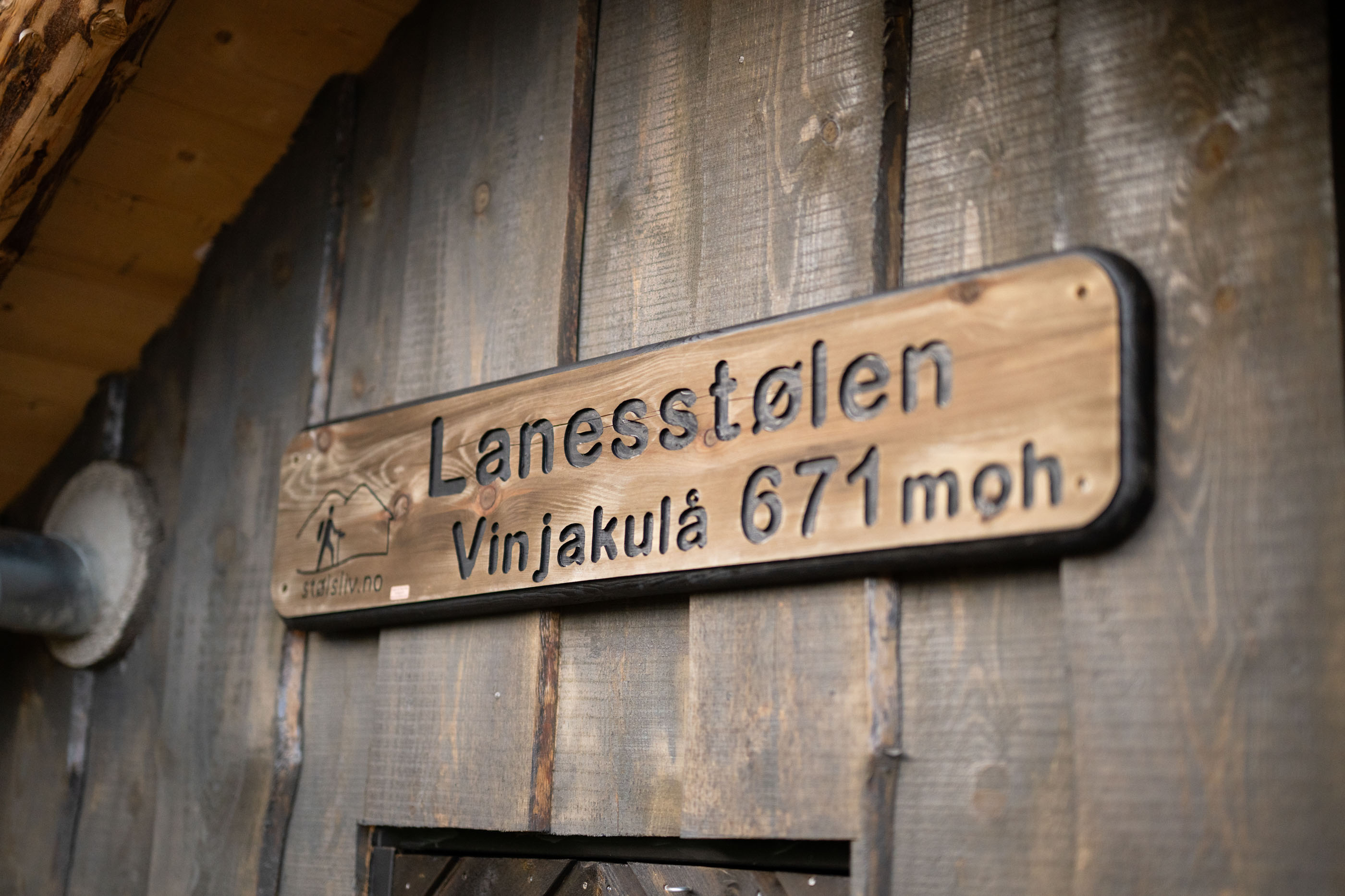
Lanesstølen
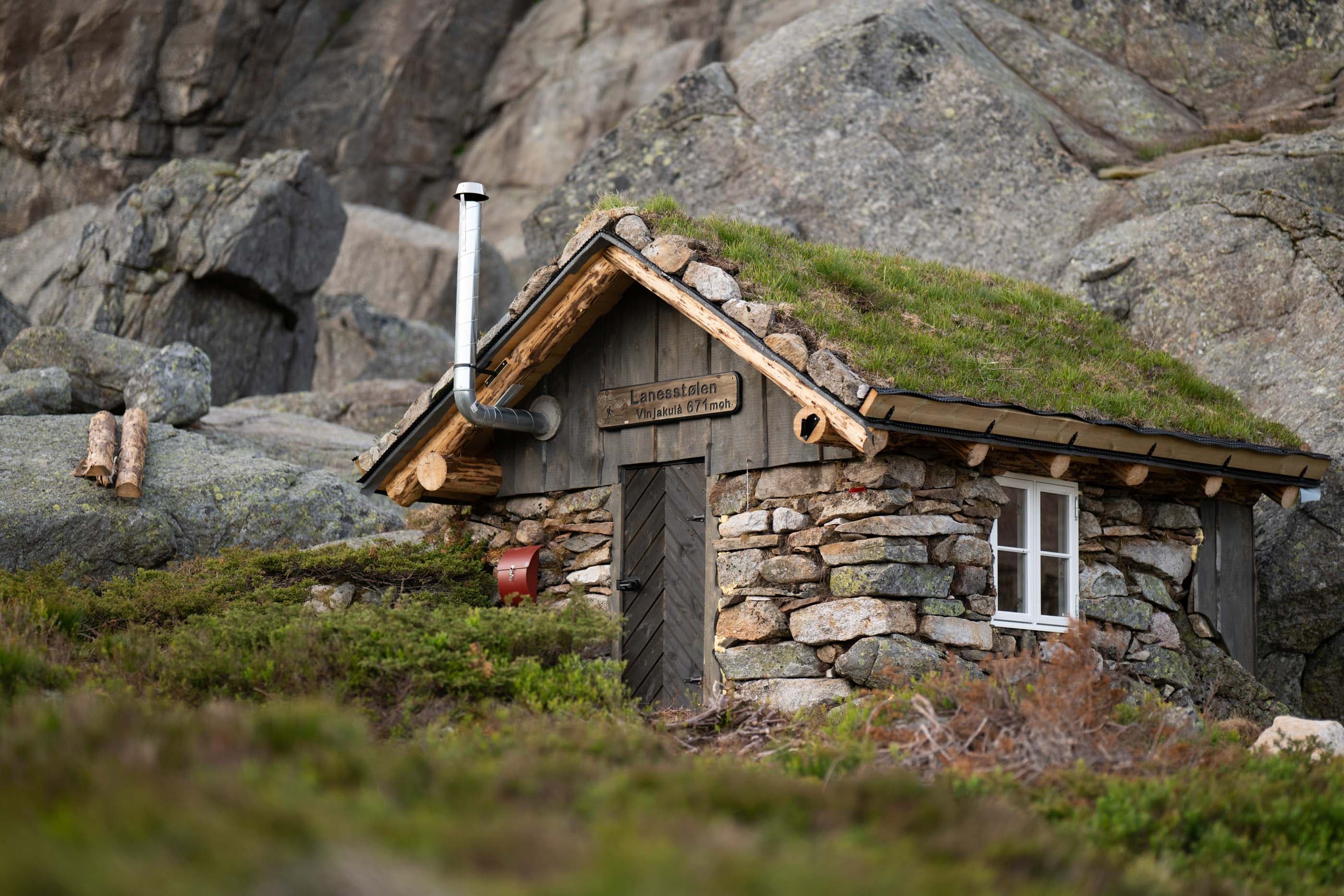
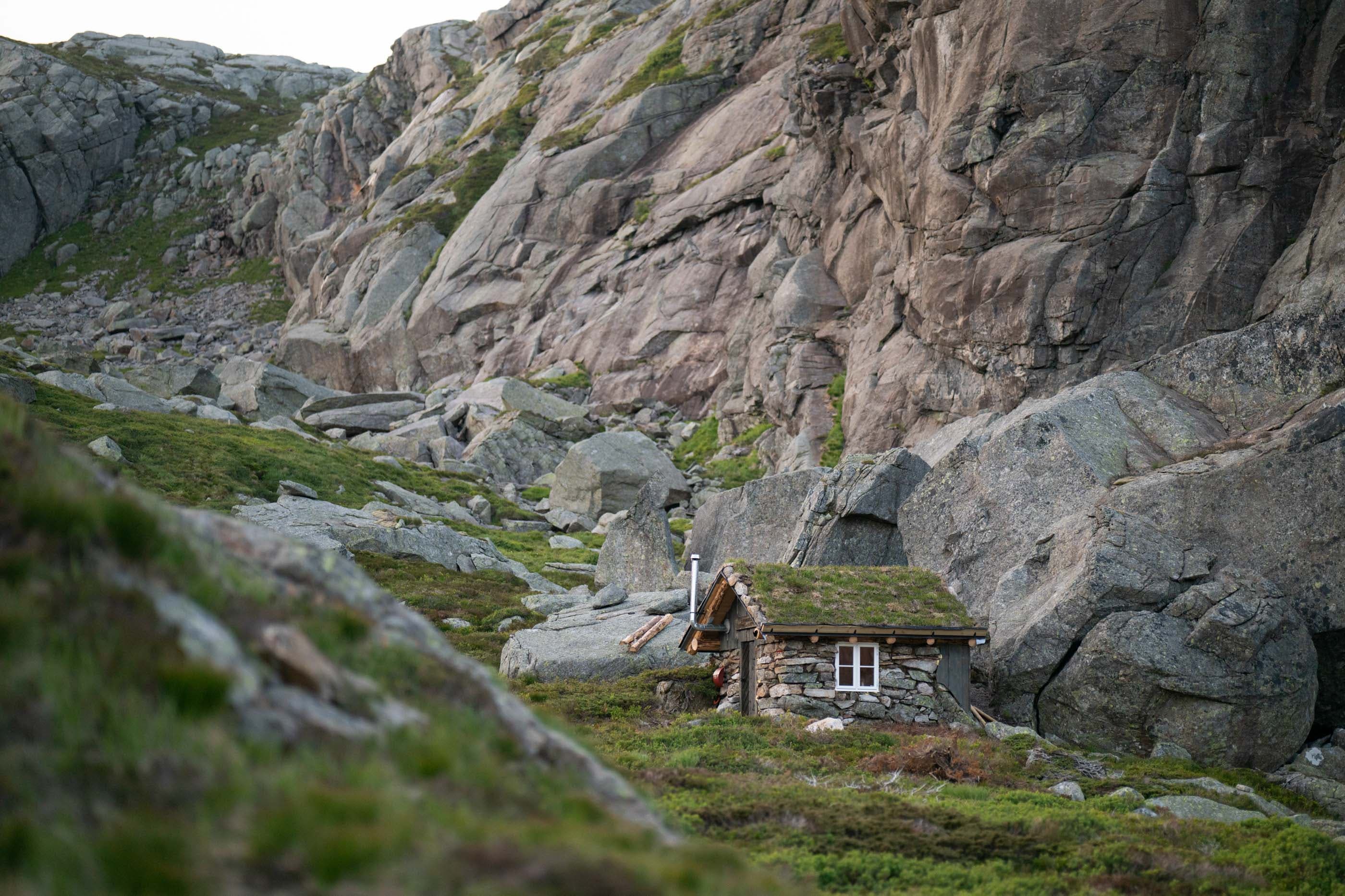
Lanesstølen by Vinjakula is a unique hiking destination with a rich history.
Hike description
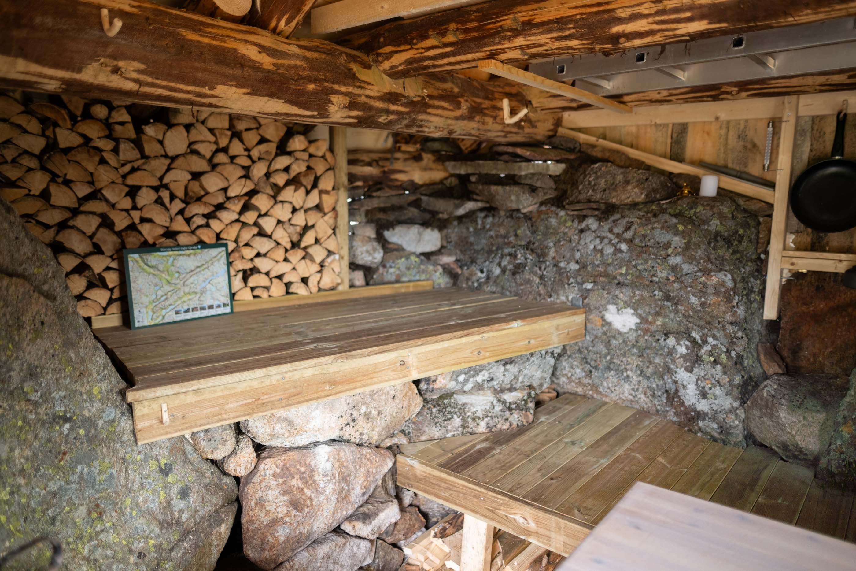
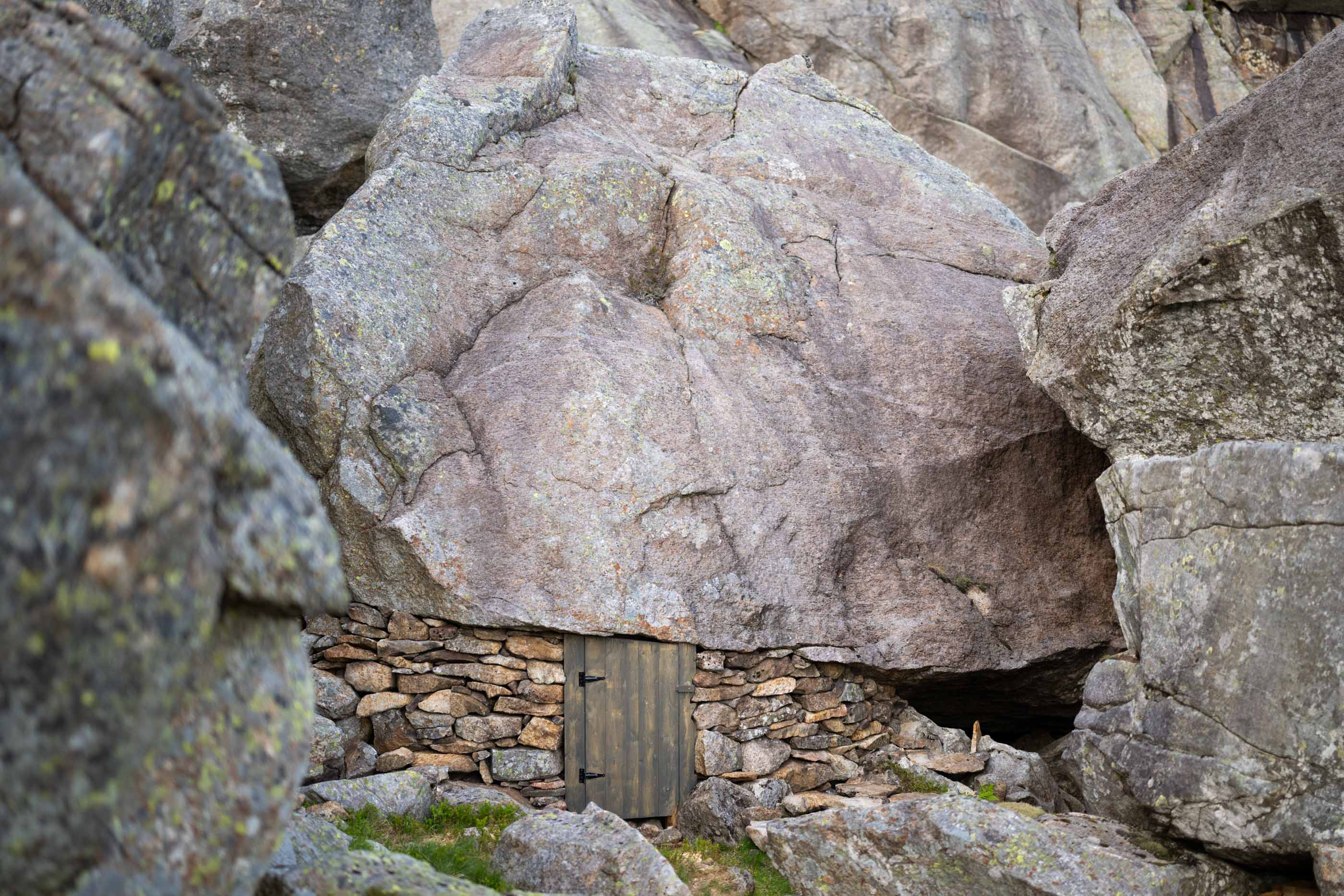
After many years as a forgotten stone heap, Lanesstølen on the south side of Vinjakula has been restored. Here you can take a trip up for a day visit or stay overnight. The cabin has space for three adults and one child, and in the annex, there is sleeping space for two adults.
Restored with traditional craftsmanship
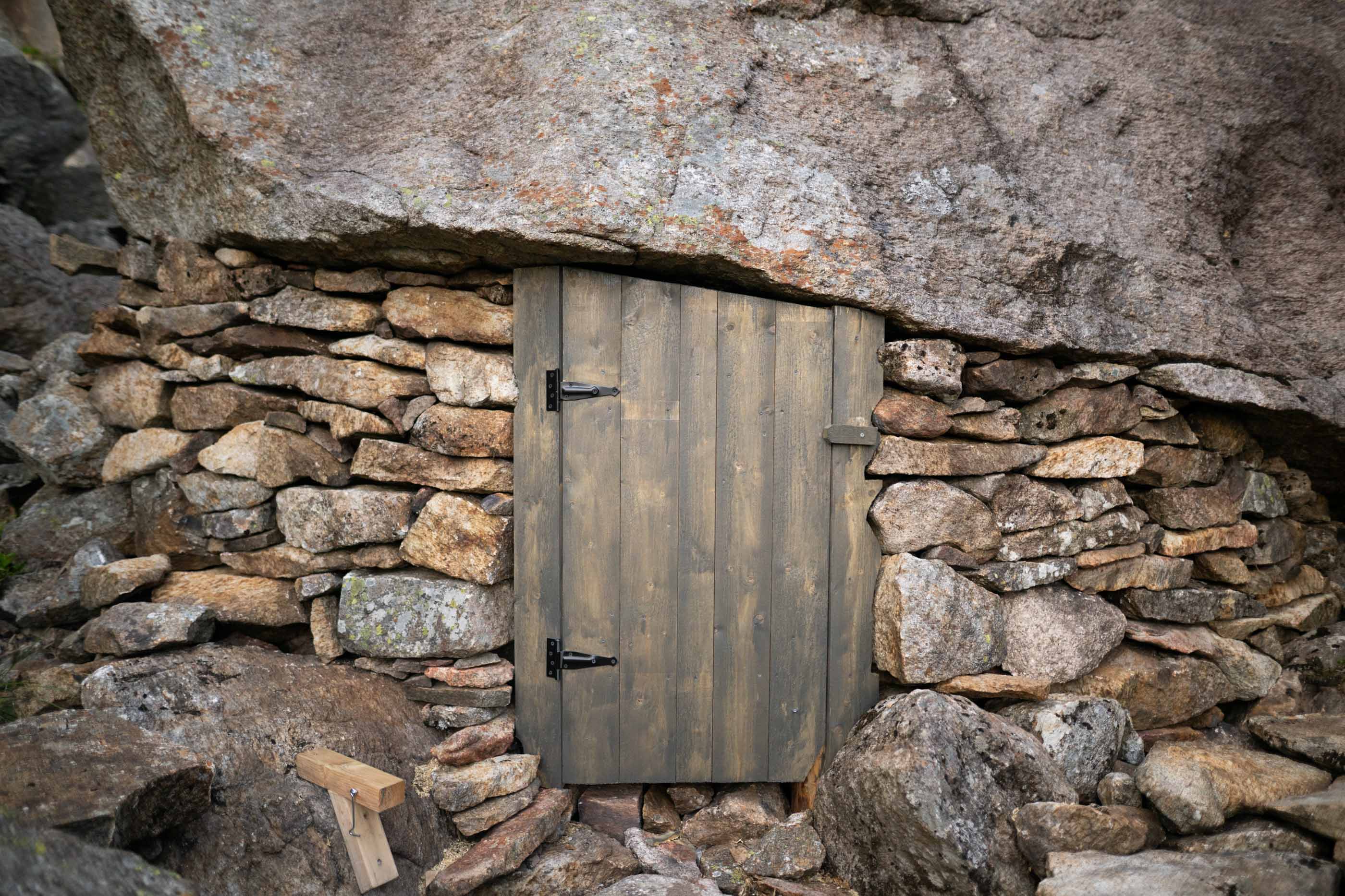
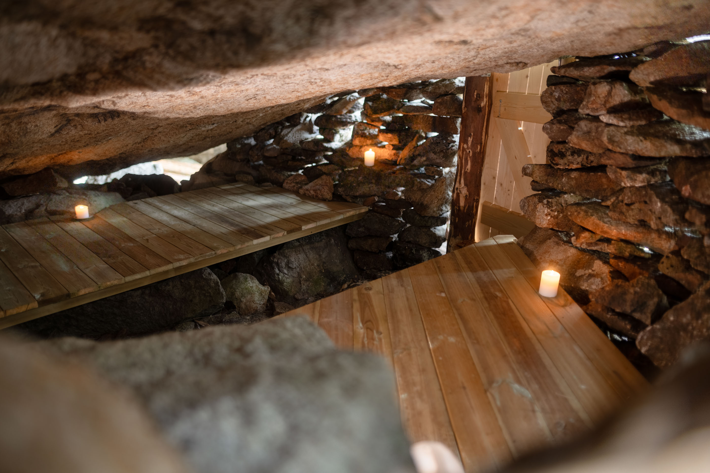
The cabin is built with timber from its own forest at Veen farm, using the construction method grindabygg. The craftsmanship and materials have been carefully chosen to preserve the authentic expression and connect the project to local history. The cabin has been restored by the volunteer group from the Association for cabin life and outdoor activities in inner Gjesdal, with support from Bjerkreim municipality through the SMIL scheme.
Open to all
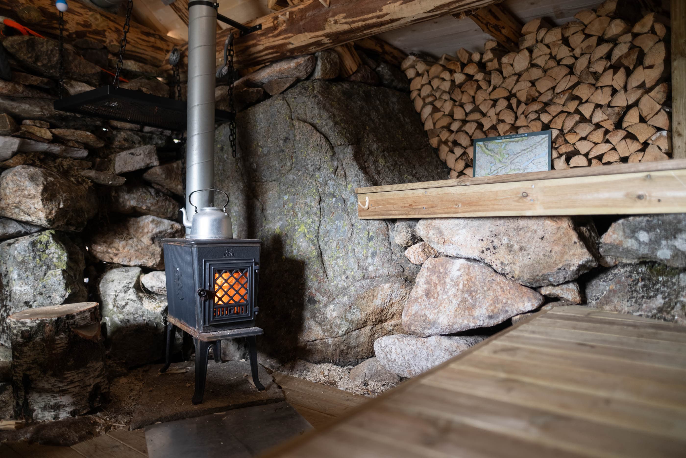
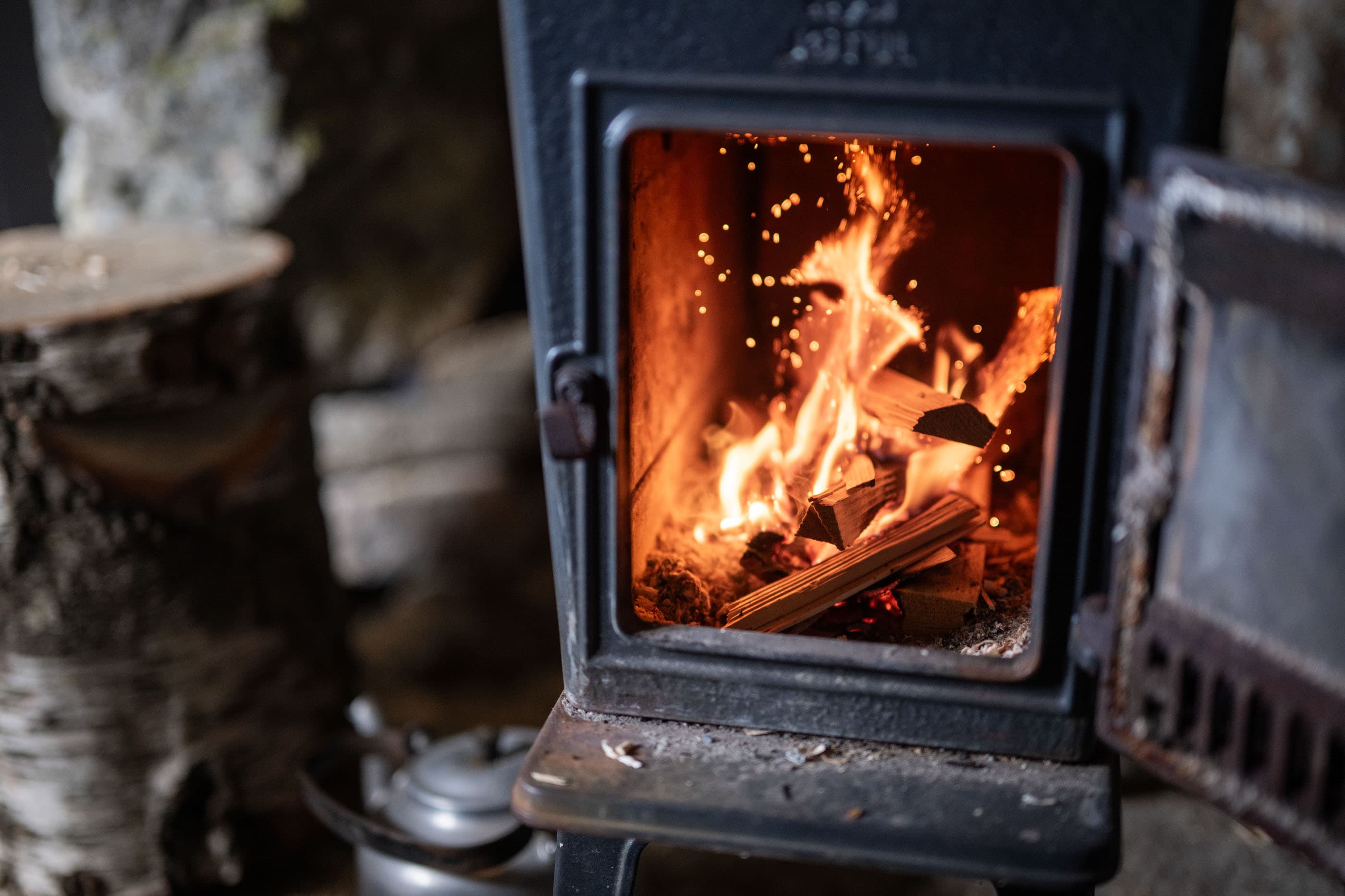
The cabin is open for anyone wishing to experience history and nature up close. It will serve as a warm shelter for supervising grazing animals while also becoming a popular destination for outdoor activities and recreation. New trails have been marked to connect the cabin to the summit hike up Vinjakula and other routes in the area.
A few, but important cabin rules
- Overnight stays are reserved for landowners, sheep farmers in the area, and members of the association.
- Overnight stays are limited to the period from April 15 to October 15.
- Sheep farmers will have priority for booking overnight stays in connection with supervision and gathering.
- All overnight stays must be registered via the booking site.
- The cabin buildings must always be accessible for day visits. This means that:
- The building must be tidy and open to everyone from 10:00 AM to 6:00 PM.
- Setting up for overnight stays must therefore wait until 6:00 PM.
Parking
Parking at Veen gardscamping, Bjerkreim
GPX is available for this hike