
+4
Kyrkjefjellet
Easy walk with great views!
6.40 km
Length
2t 0m
Estimated time
↻
Rundtur
Middels
Difficulty
Hike description
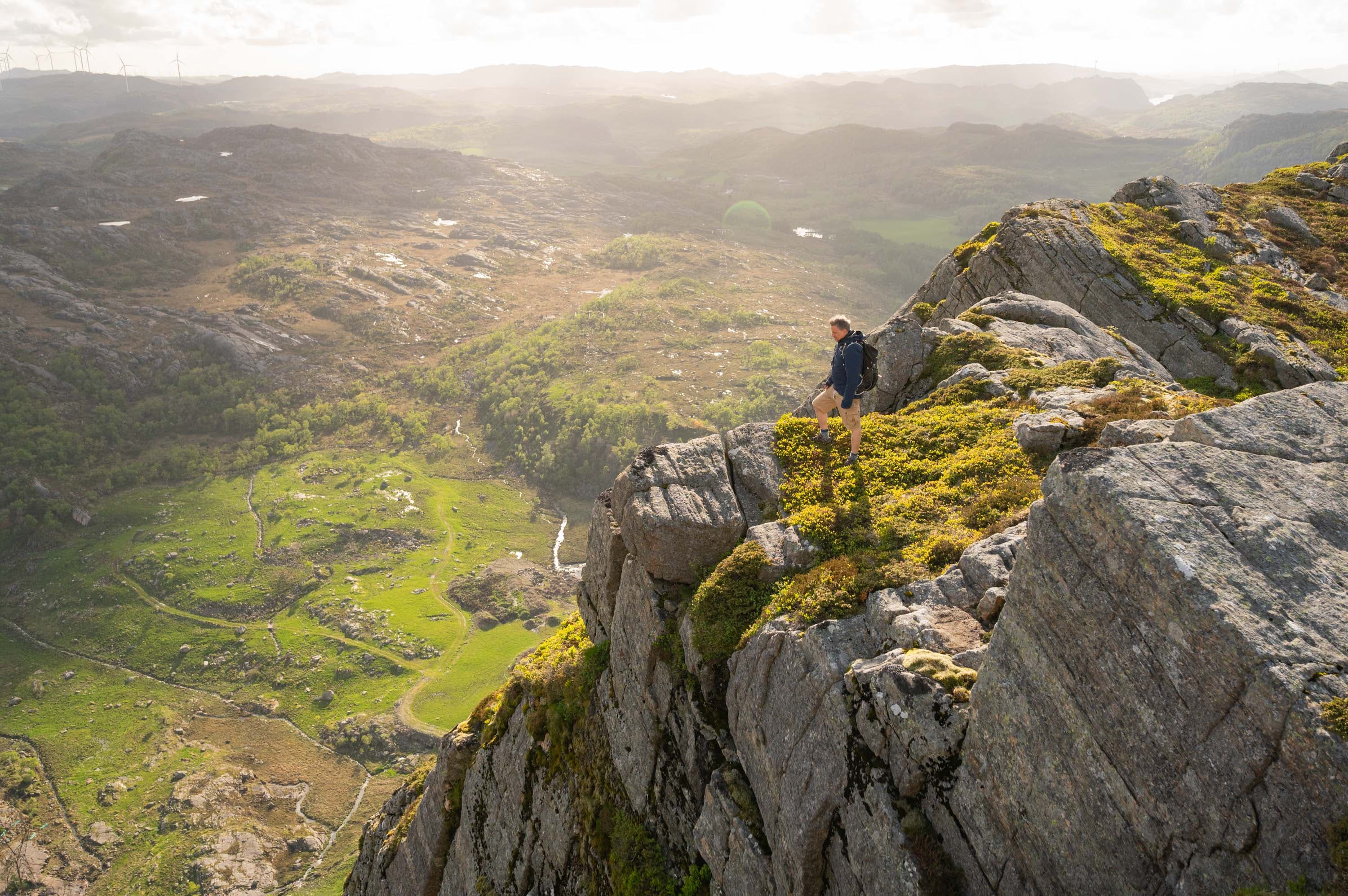
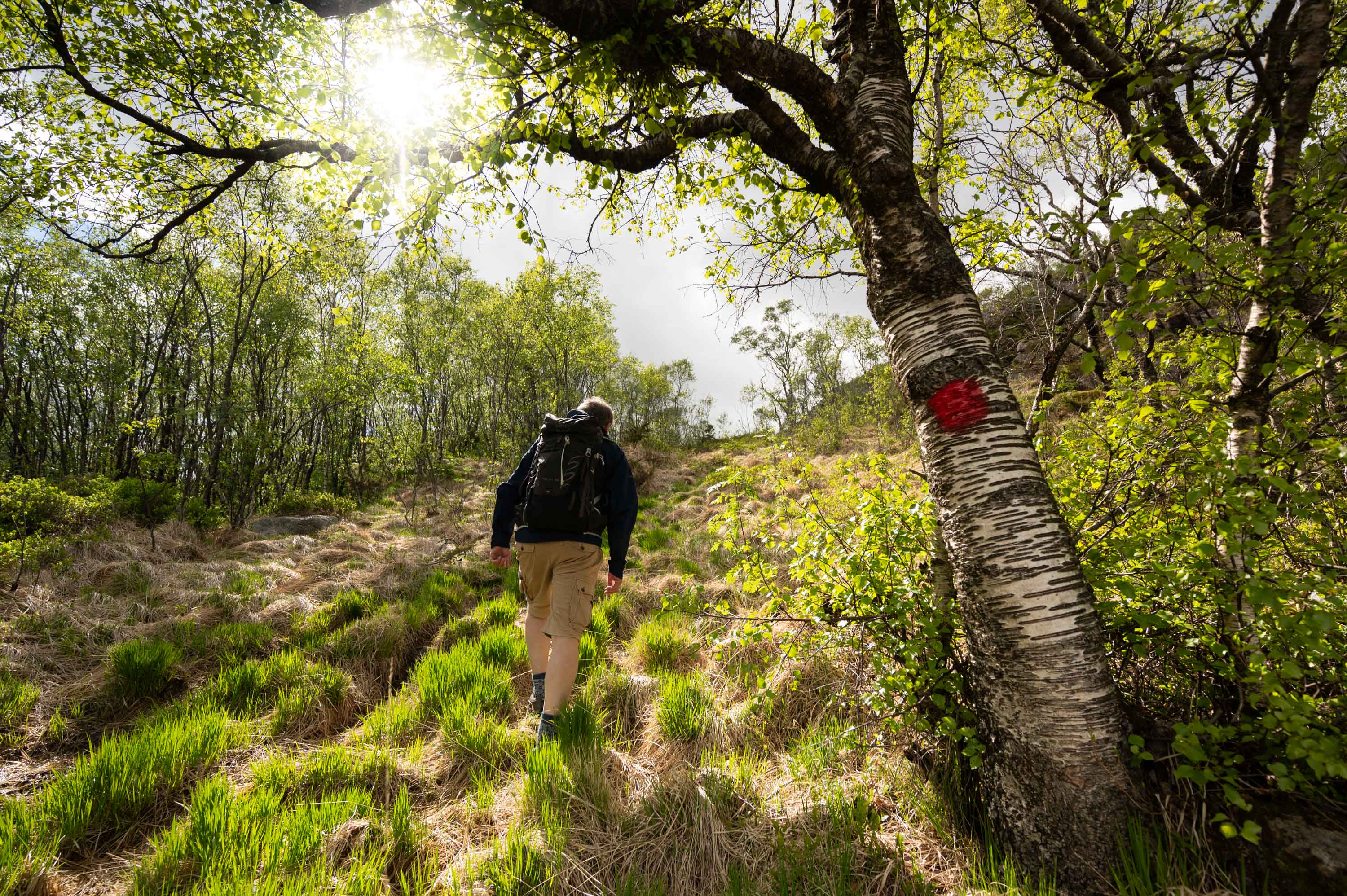
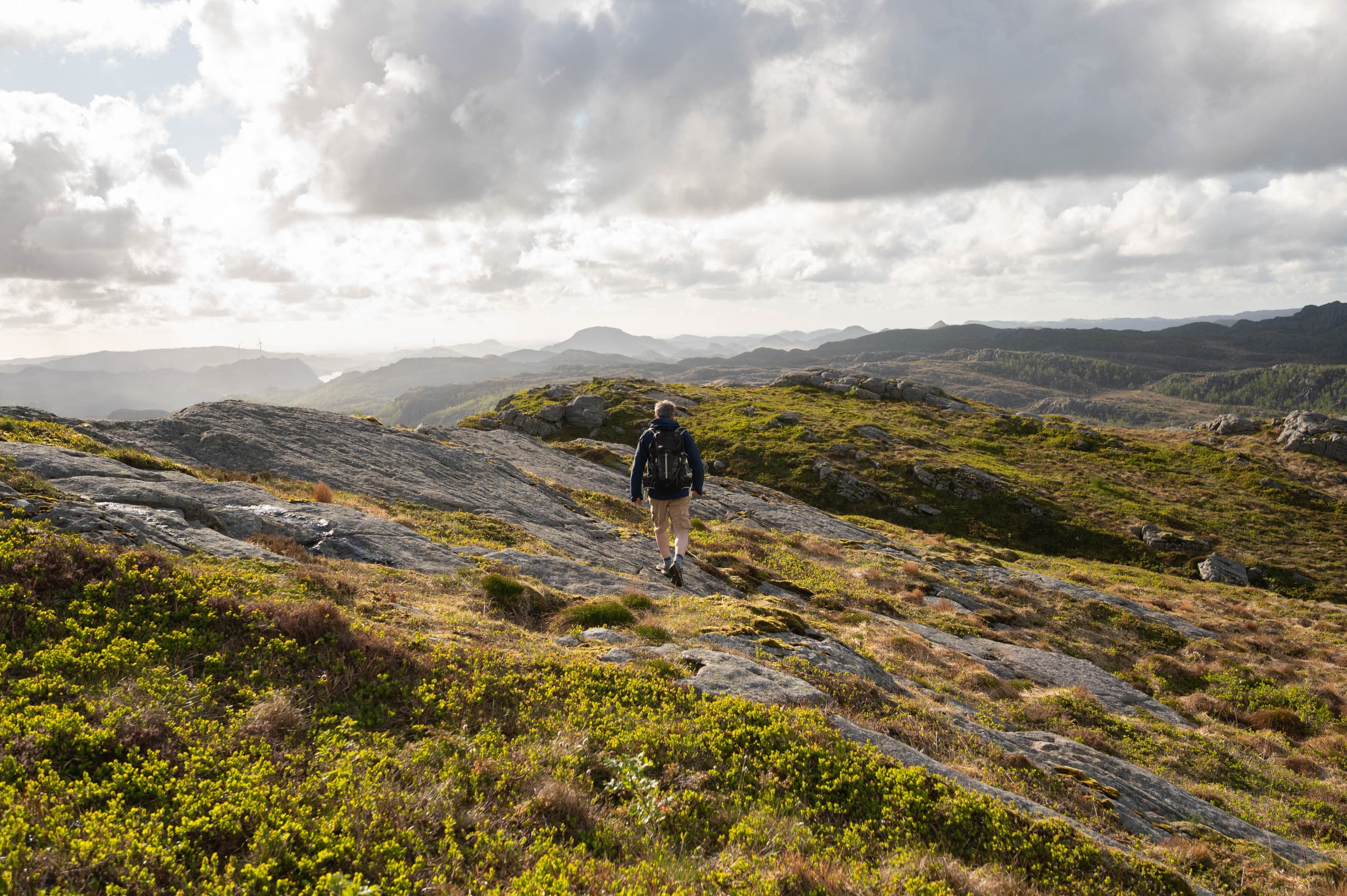
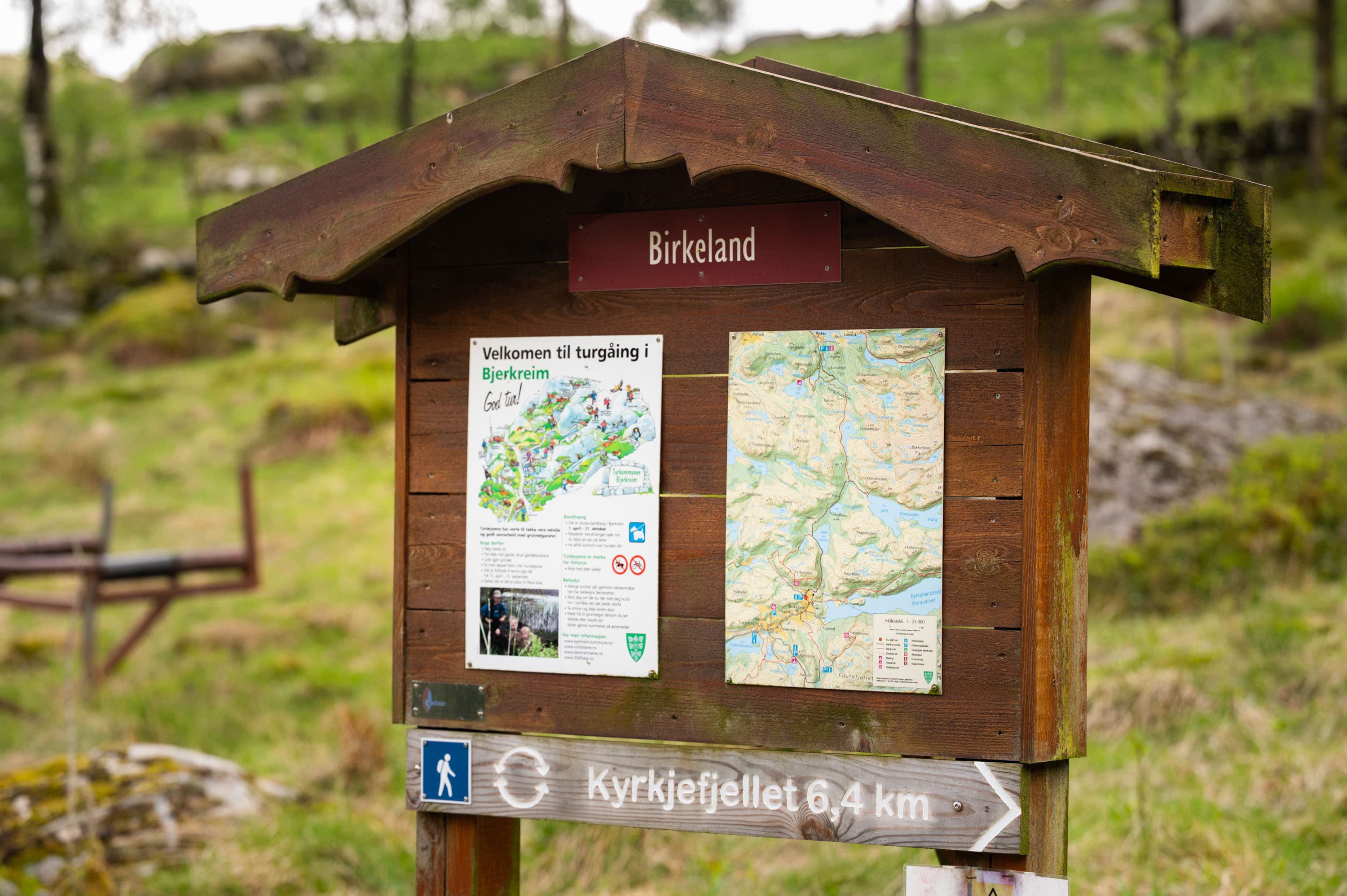
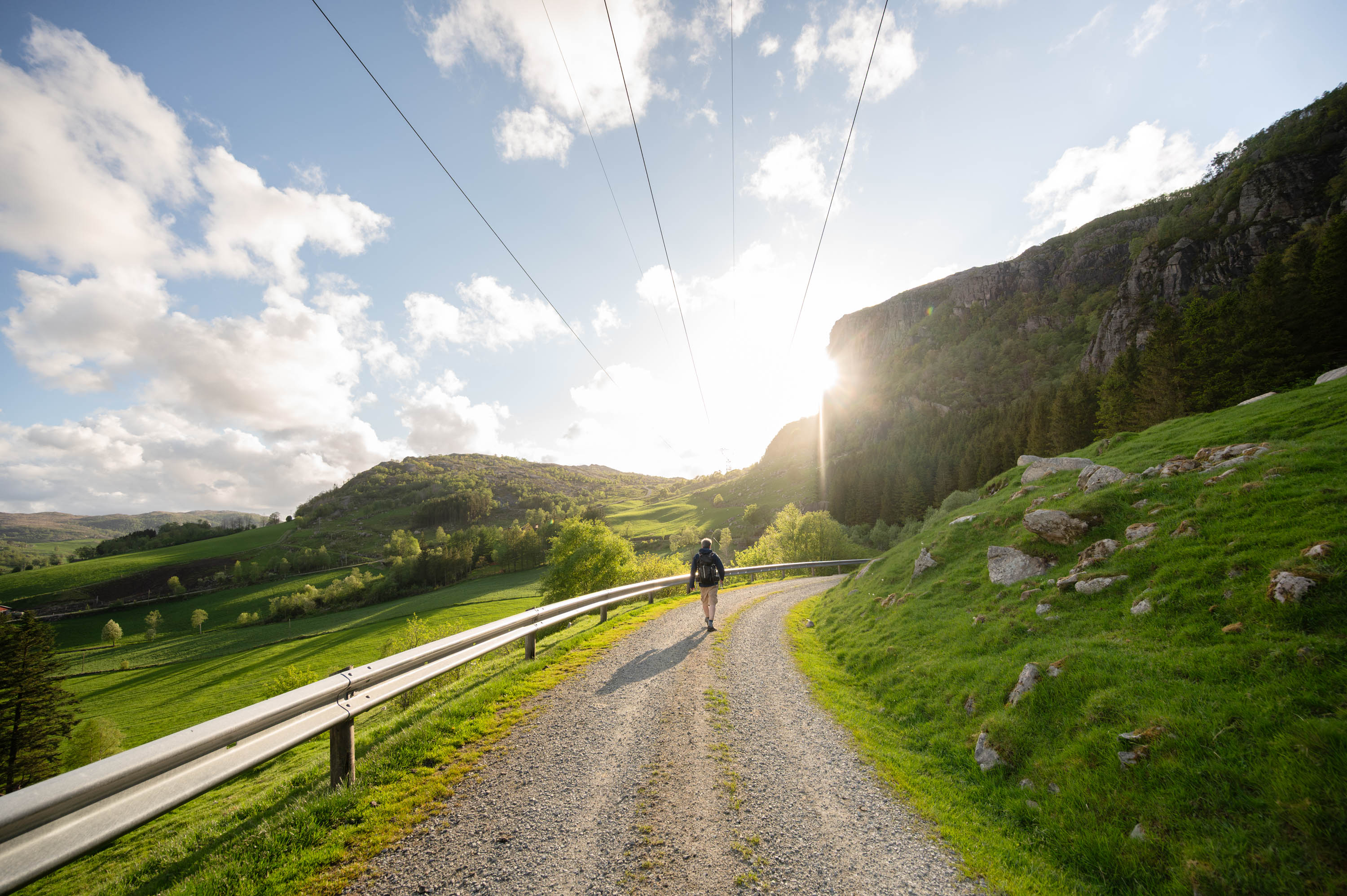
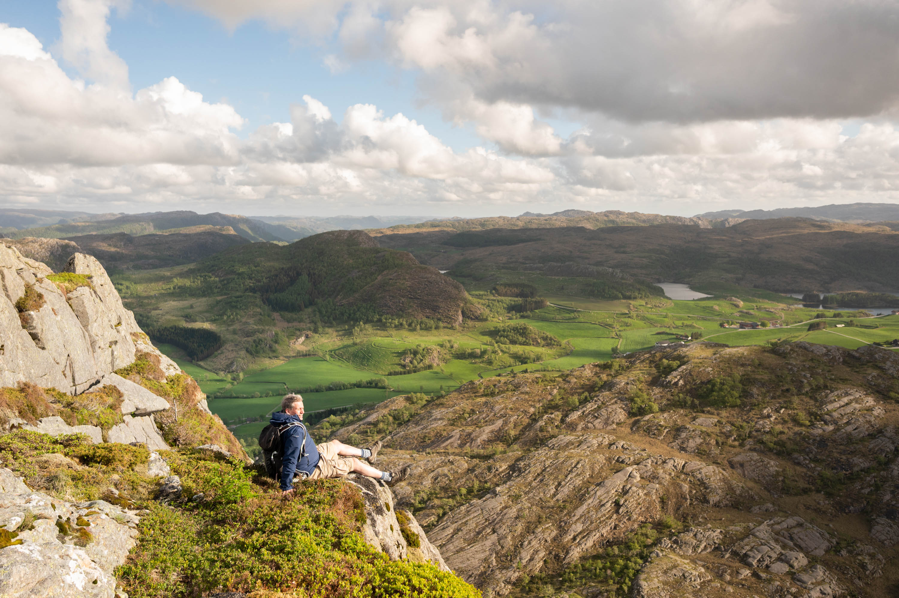
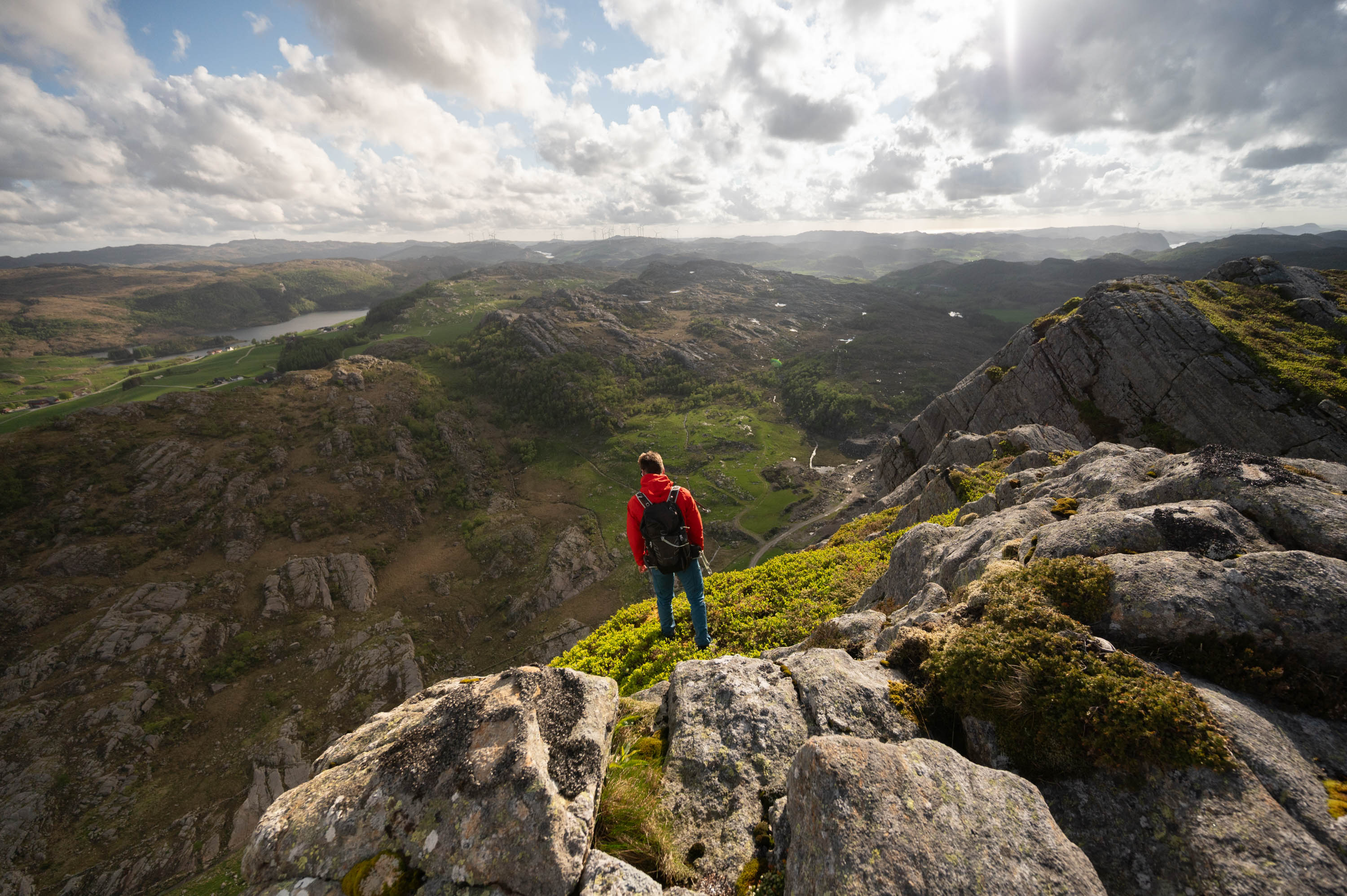
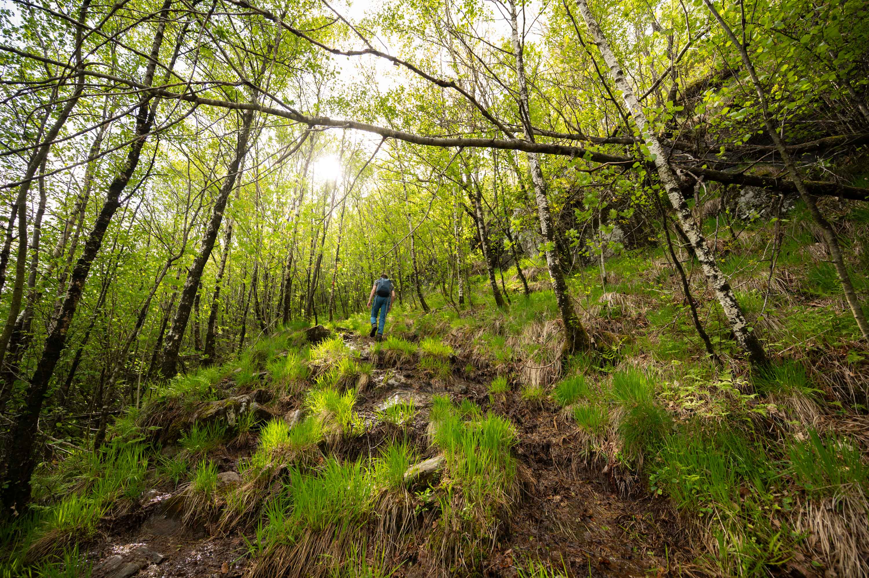
The trip to Kyrkjefjellet starts at the parking lot at Birkeland. This is an easy and well-marked hike that can be taken either as a short trip straight to the top or as a round trip via Stølsvatnet. The first part goes on a gravel road, before the path takes you further up into the terrain, marked with red markings. Along the way, you pass several nice viewpoints and small ponds before finally reaching the top at 517 meters above sea level, where you get a great view of the area.
Note! Grazing animals, remember leash law. Early in the season (May–June), it is not recommended to bring dogs, as cows with calves can be very protective.
Parking
Parking available
GPX is available for this hike