Glupefjellet II
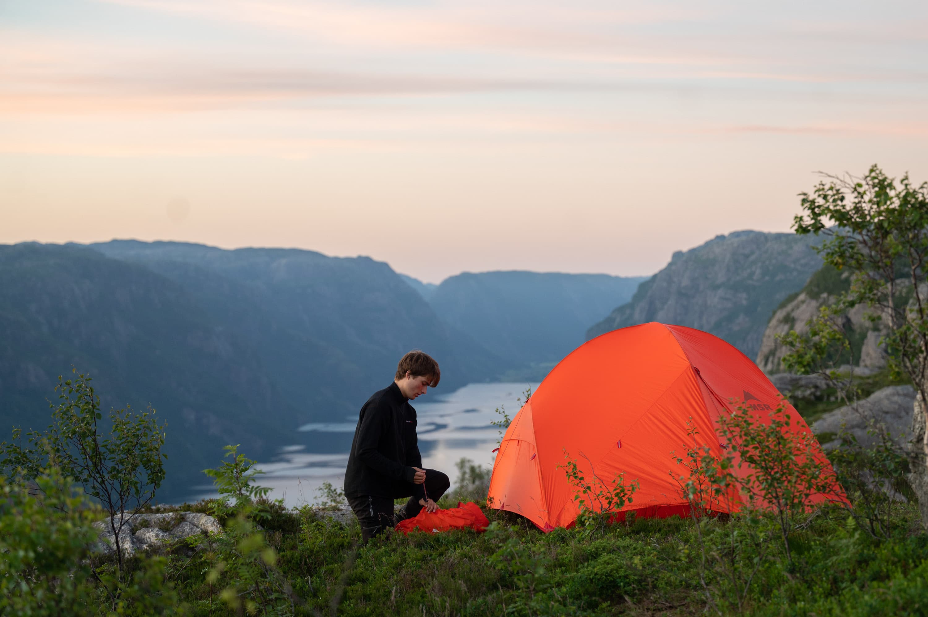
View over Ørsdalsvatnet
Description
Trail description
Follow the wooden stairs down towards the water located below the parking lot. Turn right up towards the cabin on the mountainside. The red-marked path continues up the mountainside behind the cabin. We recommend bringing a map and compass so that it’s possible to find the campsite by yourself without the path. A map with coordinates can be downloaded using a link from Norgeskart.
Key information
– Approximately 5 km round trip from the parking lot (duration 2 hours)
– Difficulty level: Moderately challenging
Contact information
No contact information available.