
Eikebrekka to Kvitlen
The oak slope to Kvitlen in the valley
Hike description
The path from Eikebrekka into Kvitlen largely follows the old driving road between Ørsdalen in Bjerkreim and Sirdal. From the parking lot, the path goes down a stony slope until it meets the old driving road down in the valley after about 1 km. Here, one must go back a little and cross the stream on a makeshift all-year bridge. The driving road goes to the abandoned mountain farm Austdal, which can be glimpsed in the forest. There is a clear path further up through Austdalen. Once one has walked a little over 3 km, there is a marked hiking sign that shows the way to Austdalhelleren, a perfect resting place in damp weather.
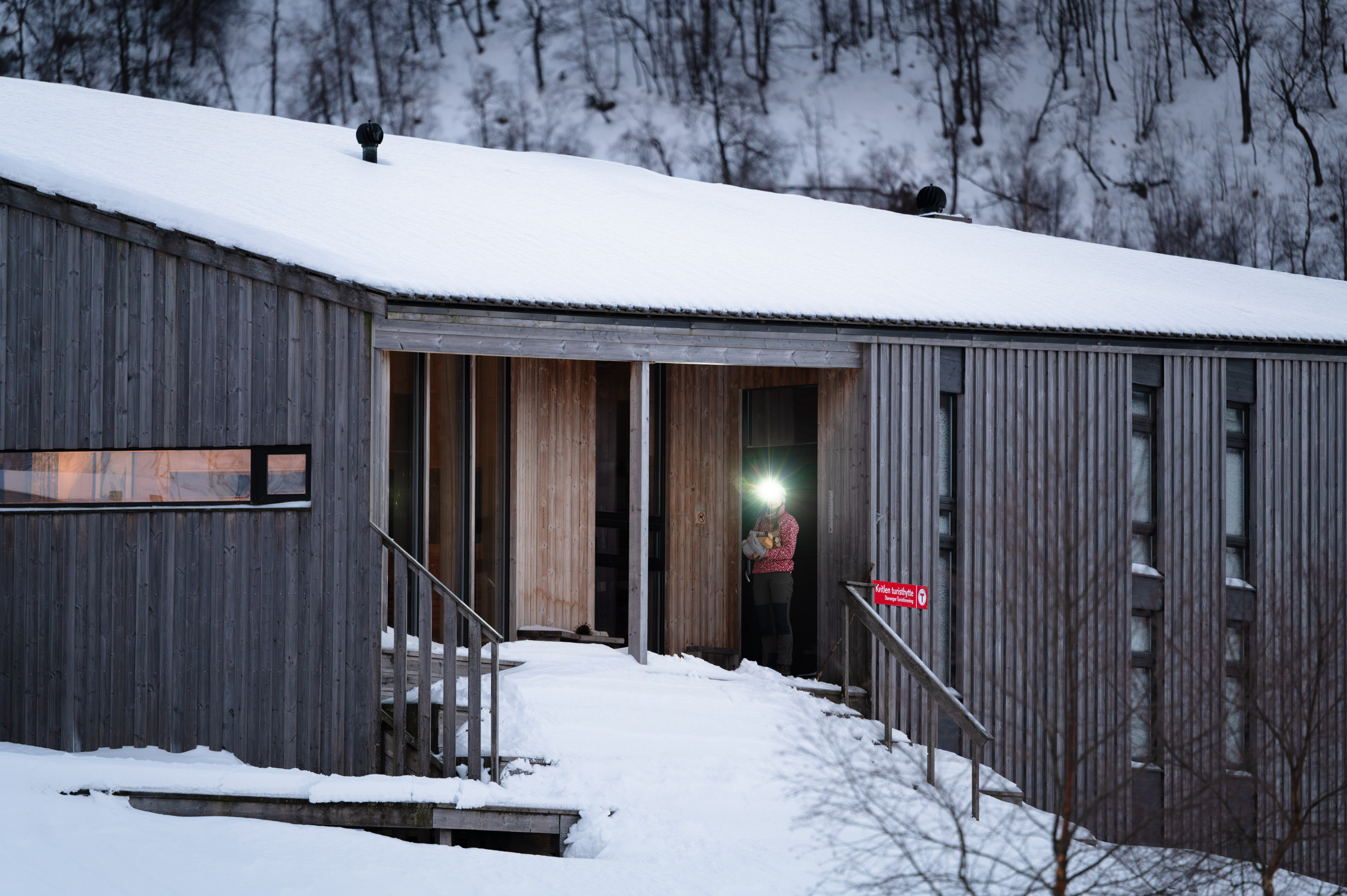
Along the northern side of Laugarvatnet, the path is stone-paved and partially built out into the water. Down by the water at the northwestern end of Laugarvatnet lies a large rock shelter under solid rock, Austdalstølen. From Laugarvatnet, the good path continues down through birch forest and to the trail fork towards Bjordal. In the hillside between old trees stands the farmstead at Brattebø with remnants that testify to great activity in earlier times. The path continues through beautiful cultural landscape up to the ruins of the former mountain farm Kvitlen. The path continues along the edge of a swamp until reaching the suspension bridge over the river from Nordre Kvitladalen, and up the last slope to the cabin.
Parking
Parking at 4389 Vikeså
GPX is available for this hike