
Blue cross-country ski trail at Stavtjørn
13.30 km
Length
3t 0m
Estimated time
↻
Rundtur
Middels
Difficulty
Hike description
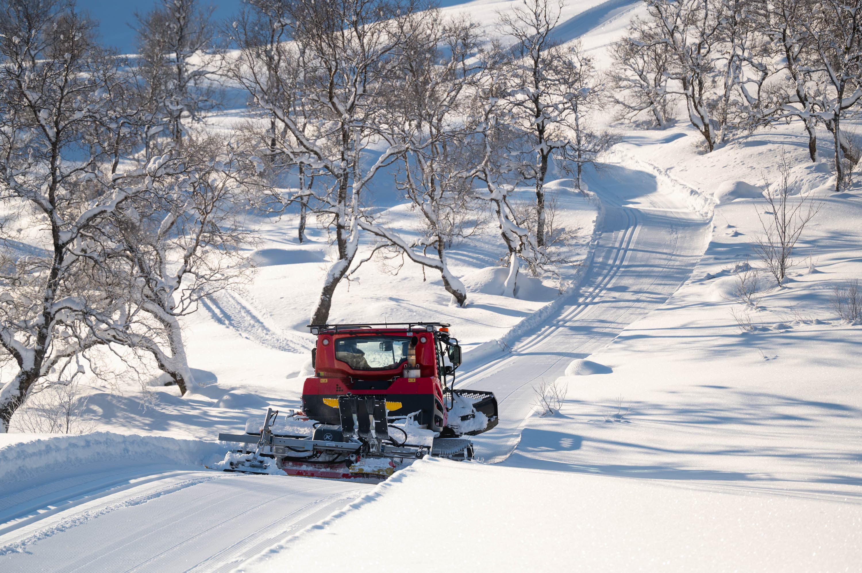
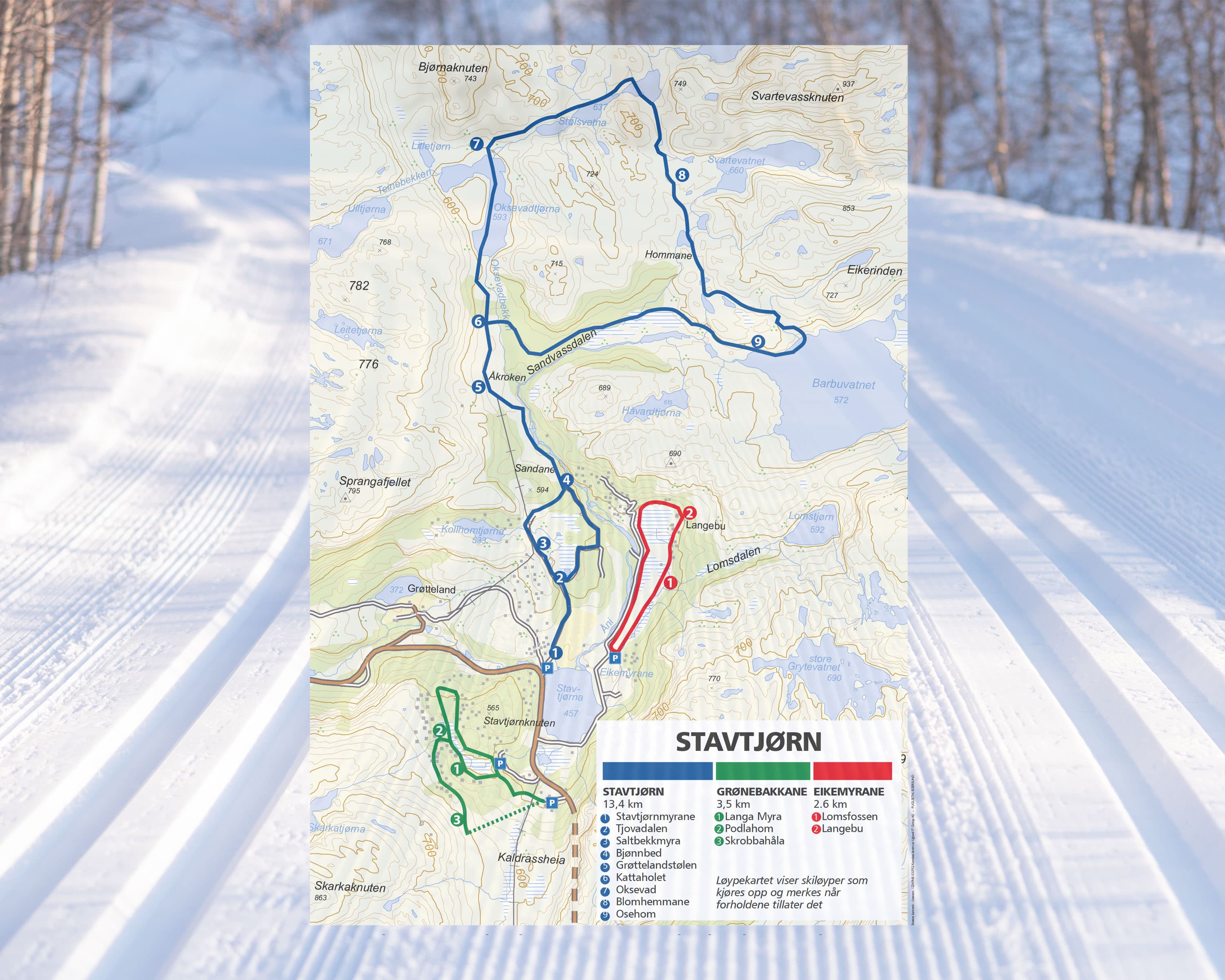
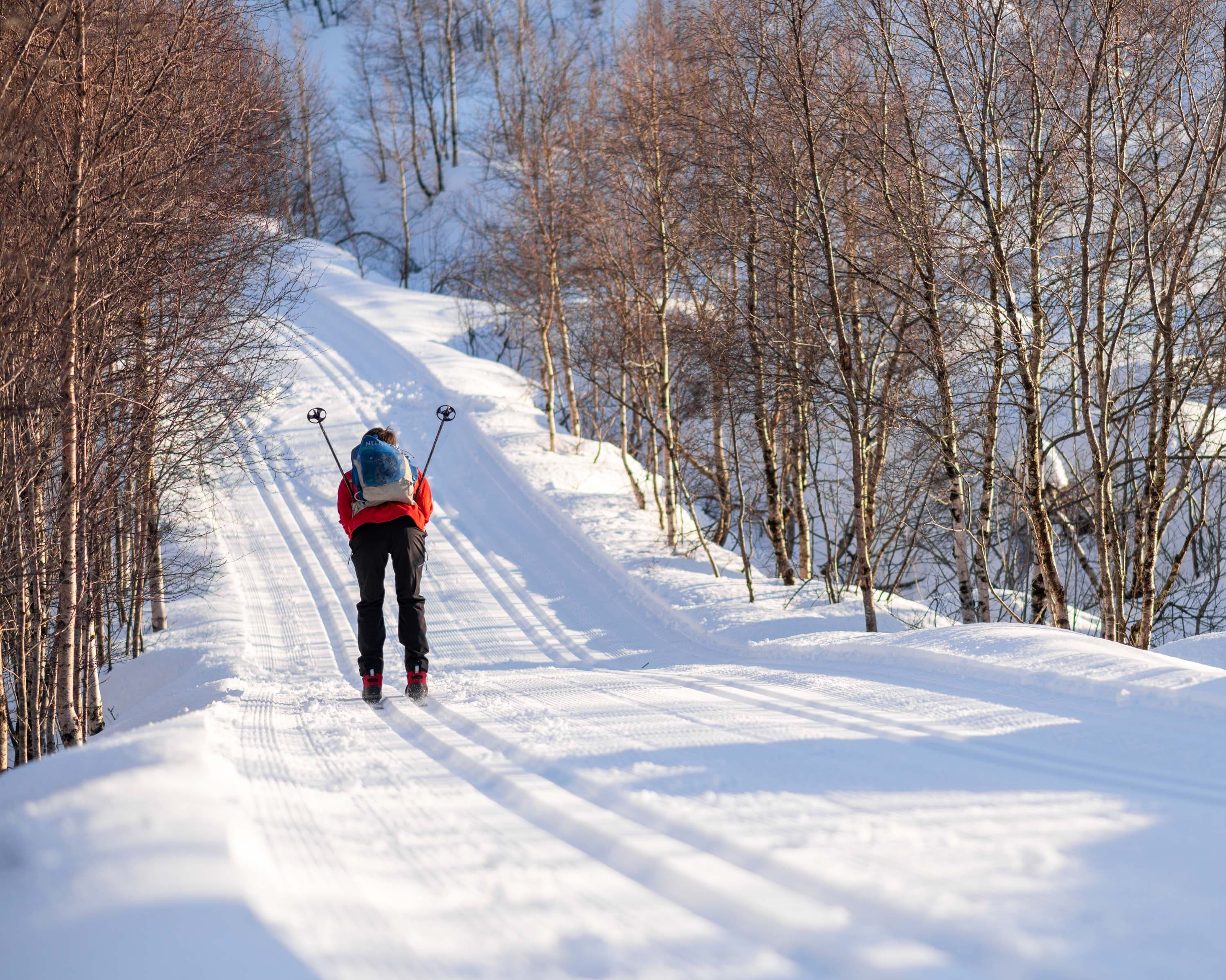
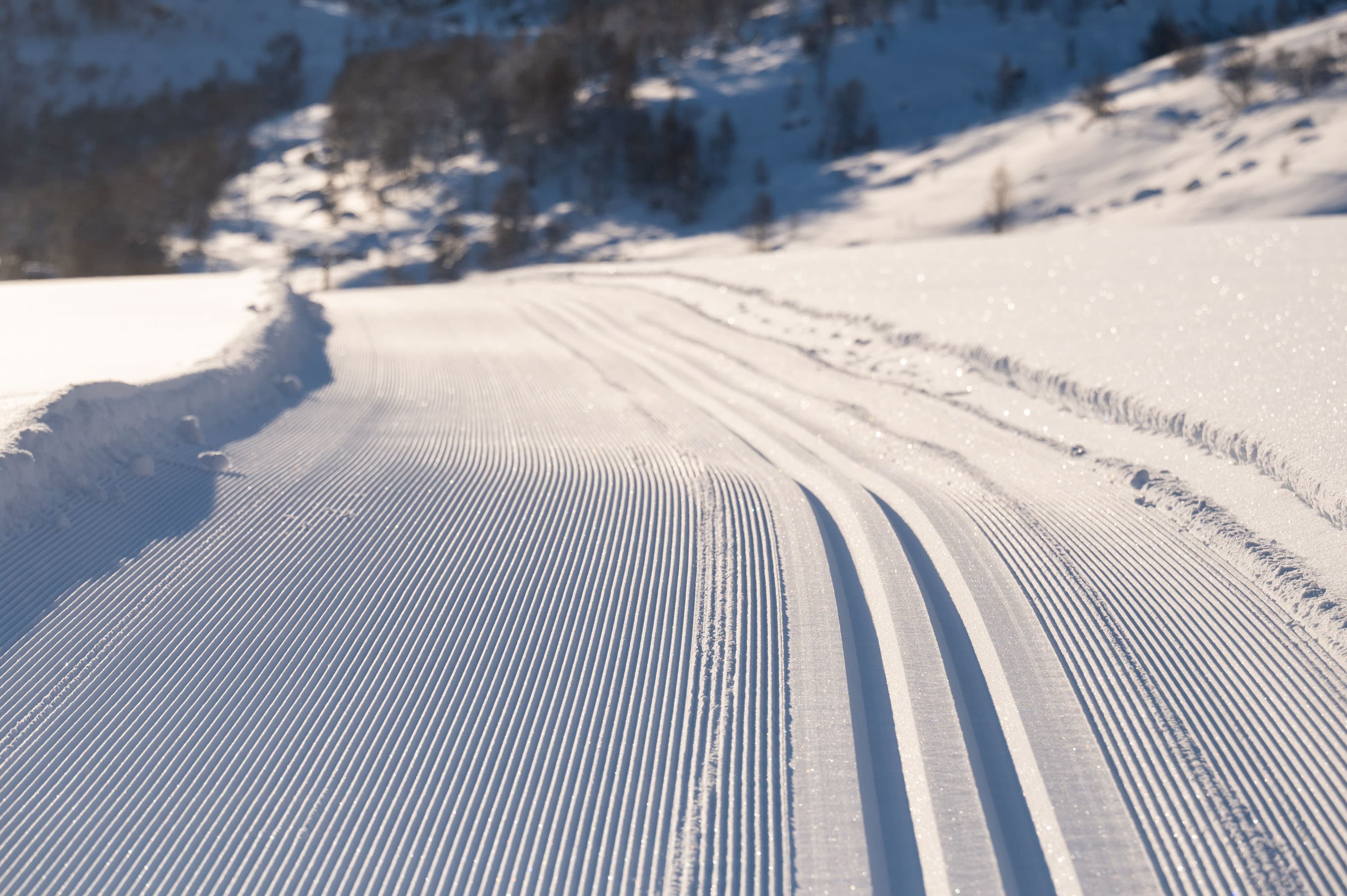
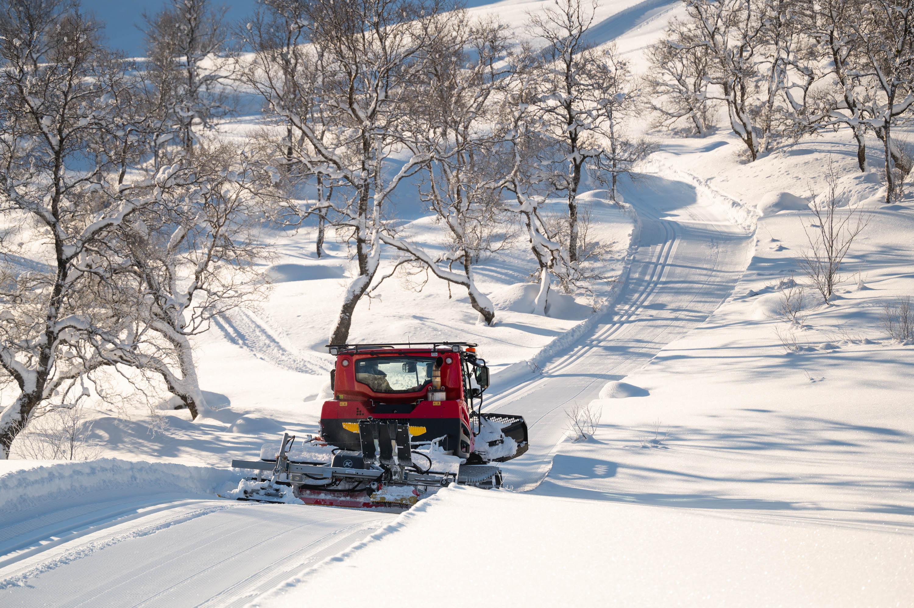
The blue trail at Stavtjørn is a popular, varied 14 km round trip in the mountains, often groomed with machines. The trail starts at Stavtjørn Winter Camping (ski in/ski out) and extends into the terrain, with Katthola as a known point. For updated trail conditions, follow Skispor Stavtjørn on Facebook. The trail map shows ski trails that are groomed and marked when conditions permit.
Parking
Parking at Stavtjørn Vintercamping, 4389 Vikeså ,
GPX is available for this hike